Aho, North Carolina
| Aho | |
|---|---|
| Unincorporated community | |
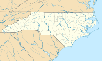 Aho  Aho Location within the state of North Carolina | |
| Coordinates: 36°09′33″N 81°36′59″W / 36.15917°N 81.61639°WCoordinates: 36°09′33″N 81°36′59″W / 36.15917°N 81.61639°W | |
| Country | United States |
| State | North Carolina |
| County | Watauga County |
| Elevation | 3,763 ft (1,147 m) |
| Time zone | Eastern (EST) (UTC-5) |
| • Summer (DST) | EDT (UTC-4) |
| ZIP code | 28605 |
| Area code(s) | 828 |
| GNIS feature ID | 1018776[1] |
Aho is an unincorporated community located in Watauga County, North Carolina, United States. Possibly named after the Aho Branch that flows nearby, the community is located along the Blue Ridge Parkway at Bentley Knob, northeast of Blowing Rock.
References
- ↑ "Aho, North Carolina". Geographic Names Information System. United States Geological Survey. Retrieved 2011-09-10.
Municipalities and communities of Watauga County, North Carolina, United States | ||
|---|---|---|
| Towns | 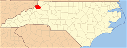 | |
| Unincorporated communities |
| |
| Footnotes | ‡This populated place also has portions in an adjacent county or counties | |
This article is issued from Wikipedia - version of the 7/27/2016. The text is available under the Creative Commons Attribution/Share Alike but additional terms may apply for the media files.