Ahuroa
| Ahuroa | |
|---|---|
 Ahuroa | |
| Coordinates: 36°28′35″S 174°33′19″E / 36.47639°S 174.55528°ECoordinates: 36°28′35″S 174°33′19″E / 36.47639°S 174.55528°E | |
| Country | New Zealand |
| Region | Auckland Region |
| District | Rodney District |
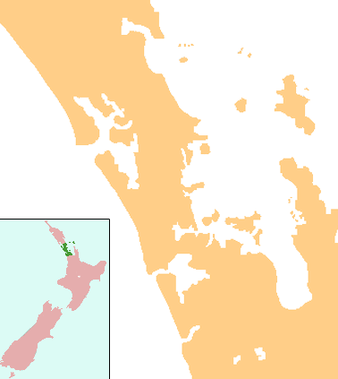
Ahuroa is a locality in the Rodney District of New Zealand. Puhoi is to the south-east, Warkworth to the north-east, and Kaipara Flats to the north. The North Auckland railway line passes through the area.[1][2]
The North Auckland Line reached Ahuroa from Kaukapakapa in 1905, allowing exploitation of the local forests.[3] Because it had a railway station, the road between Ahuroa and Glorit on the western coast was chosen to be a highway in the late 1920s, and metalled.[4]
Ahuroa is also the site of King's College's Venture Camp. The school owns land and forests there and runs camps for its students and also for many corporations from New Zealand.
Education
Ahuroa School is a coeducational full primary (years 1-8) school with a decile rating of 7 and a roll of 82.[5]
Notes
- ↑ Peter Dowling (editor) (2004). Reed New Zealand Atlas. Reed Books. pp. map 11. ISBN 0-7900-0952-8.
- ↑ Roger Smith, GeographX (2005). The Geographic Atlas of New Zealand. Robbie Burton. pp. map 35. ISBN 1-877333-20-4.
- ↑ Ryburn, Wayne (1999). Tall Spars, Steamers & Gum. p. 84. ISBN 0-473-06176-7.
- ↑ Ryburn, p 189
- ↑ "Ahuroa School - school details". Ministry of Education.