Kaipara Flats
| Kaipara Flats | |
|---|---|
 Kaipara Flats | |
| Coordinates: 36°24′22″S 174°32′47″E / 36.40611°S 174.54639°ECoordinates: 36°24′22″S 174°32′47″E / 36.40611°S 174.54639°E | |
| Country | New Zealand |
| Region | Auckland Region |
| District | Rodney District |
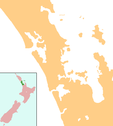
Kaipara Flats is a locality in the Rodney District of New Zealand. Warkworth is 12 km to the east, Ahuroa to the south, and Tauhoa to the north-west. The North Auckland railway line passes through the area.[1][2]
The economy is mostly sheep and cattle farming, with lifestyle blocks increasing in popularity. The Rodney Aero Club has an airfield nearby.[3]
A bridle track was established to Glorit on the Kaipara Harbour in 1899, and part was improved to a dray road the following year.[4] The North Auckland Line reached Kaipara Flats from Ahuroa in 1906.[5]
Education
Kaipara Flats School is a coeducational contributing primary (years 1-6) school with a decile rating of 9 and a roll of 84.[6] The school was established in 1878.[7]
Notes
- ↑ Peter Dowling (editor) (2004). Reed New Zealand Atlas. Reed Books. pp. map 11. ISBN 0-7900-0952-8.
- ↑ Roger Smith, GeographX (2005). The Geographic Atlas of New Zealand. Robbie Burton. pp. map 31. ISBN 1-877333-20-4.
- ↑ "Kaipara Flats". Warkworth Information Centre. Retrieved 2008-09-05.
- ↑ Ryburn, Wayne (1999). Tall Spars, Steamers & Gum. p. 89. ISBN 0-473-06176-7.
- ↑ Ryburn, p 84-5, 183
- ↑ "Te Kete Ipurangi - Kaipara Flats School". Ministry of Education.
- ↑ "Description of the School". Kaipara Flats School. Retrieved 2008-09-05.
External links
This article is issued from Wikipedia - version of the 8/30/2015. The text is available under the Creative Commons Attribution/Share Alike but additional terms may apply for the media files.