Alberta Highway 560
| ||||
|---|---|---|---|---|
| Glenmore Trail, Township Road 234 | ||||
 | ||||
| Route information | ||||
| Maintained by Alberta Transportation | ||||
| Length: | 16.3 km (10.1 mi) | |||
| Major junctions | ||||
| West end: | 84 Street SE, east Calgary limits | |||
|
| ||||
| East end: |
| |||
| Location | ||||
| Specialized and rural municipalities: | Rocky View County | |||
| Major cities: | Calgary | |||
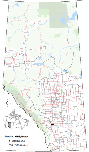
| Highway system | ||||
|
Provincial highways in Alberta
| ||||

Alberta Provincial Highway No. 560[1] is a highway in the province of Alberta, Canada. It runs west-east from the east Calgary boundary at 84 Street SE (Range Road 290), north along the city boundary to Range Road 284, across Highway 791 south of Chestermere to the southern terminus of the northern section of Highway 797, Centre Street in Langdon.
The name Glenmore Trail, comes from the name of the street it is within the Calgary city limits. Highway 560 extends to the west in an interchange with the freeways of Hwy 2 and Hwy 8. It extends to the east as Township Road 234 to Hwy 24, and Hwy 817.
Km by km description
Starting from the west end of Highway 560:
| County | km | Intersecting road | Notes | Coordinates |
|---|---|---|---|---|
| City of Calgary | -9.2 | Grade separated Continues as Hwy 8 |
50°59′35″N 114°2′6″W / 50.99306°N 114.03500°W | |
| -4.9 | Barlow Trail | Traffic lights | 50°58′46″N 113°58′54″W / 50.97944°N 113.98167°W | |
| -0.7 | Grade separated | 50°58′47″N 113°55′18″W / 50.97972°N 113.92167°W | ||
| 0.0 | 84 Street SE, Range Road 290 | Traffic lights East Calgary limits |
50°58′47″N 113°54′43″W / 50.97972°N 113.91194°W | |
| Rocky View County | 9.8 | Hwy 791, Range Road 280 | South to Indus North to Chestermere |
50°58′46″N 113°46′20″W / 50.97944°N 113.77222°W |
| 16.3 | Hwy 797, Range Road 272, Centre Street | Langdon North to Hwy 9 End of Highway 560 |
50°58′46″N 113°40′46″W / 50.97944°N 113.67944°W | |
| Wheatland County | 26 | South to Carseland North to Cheadle |
50°58′47″N 113°32′24″W / 50.97972°N 113.54000°W | |
| 35 | Hwy 817, Range Road 252 | South to Namaka North to Strathmore End of Glenmore Trail |
50°58′47″N 113°24′1″W / 50.97972°N 113.40028°W |
See also
References
- ↑ Provincial Highways Designation Order, Alberta Transportation, p. 15
This article is issued from Wikipedia - version of the 10/28/2016. The text is available under the Creative Commons Attribution/Share Alike but additional terms may apply for the media files.