Allamuchy Mountain
| Allamuchy Mountain | |
|---|---|
 Allamuchy Mountain | |
| Highest point | |
| Elevation | 1,222 ft (372 m) NGVD 29[1] |
| Coordinates | 40°56′08″N 74°46′23″W / 40.9356539°N 74.7729430°WCoordinates: 40°56′08″N 74°46′23″W / 40.9356539°N 74.7729430°W [2] |
| Geography | |
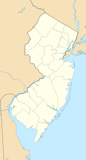
| Location | Sussex County, New Jersey, U.S. |
| Topo map | USGS Tranquility |
| Climbing | |
| Easiest route | Hiking |
Allamuchy Mountain is a mountain in Sussex and Warren Counties, New Jersey. The major peak rises to 1,222 feet (372 m), and is located in Byram Township. The mountain also covers portions of Allamuchy Township in Warren County and Green Township in Sussex County. It overlooks the Musconetcong River to the southeast, and forms part of the divide between that river and the Pequest to the northwest. It is part of the New York–New Jersey Highlands of the Reading Prong.
Allamuchy Mountain State Park covers portions of the mountain.
History
An 1834 description read,
Alamuche Mountain is one of the chain of hills which bounds the valley of the Musconetcong creek in Warren county.[3]
References
- ↑ Verified elevation from USGS topographic map Tranquility
- ↑ "Allamuchy Mountain". Geographic Names Information System. United States Geological Survey. Retrieved 2014-04-06.
- ↑ A Gazetteer of the State of New Jersey - Thomas F. Gordon - Google Books. Books.google.com. Retrieved April 6, 2014.
This article is issued from Wikipedia - version of the 9/27/2016. The text is available under the Creative Commons Attribution/Share Alike but additional terms may apply for the media files.