Makham District
| Makham มะขาม | |
|---|---|
| Amphoe | |
|
Waterfall, Namtok Phlio National Park | |
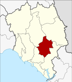 Amphoe location in Chanthaburi Province | |
| Coordinates: 12°40′25″N 102°11′48″E / 12.67361°N 102.19667°ECoordinates: 12°40′25″N 102°11′48″E / 12.67361°N 102.19667°E | |
| Country |
|
| Province | Chanthaburi |
| Area | |
| • Total | 480.1 km2 (185.4 sq mi) |
| Population (2005) | |
| • Total | 29,479 |
| • Density | 61.4/km2 (159/sq mi) |
| Time zone | ICT (UTC+7) |
| Postal code | 22150 |
| Geocode | 2205 |
.jpg)
Makham (Thai: มะขาม, pronounced [mā.kʰǎːm]) is a district (amphoe) in the center part of Chanthaburi Province, eastern Thailand.
History
The district was established in 1899, then named Tha Luang district. It dates back to an ancient Khmer city, which was under Thai rule since the Ayutthaya era. In 1917, it was renamed Makham.[1]
Geography
Neighboring districts are (from the southwest clockwise) Mueang Chanthaburi, Khao Khitchakut, Pong Nam Ron, and Khlung of Chanthaburi Province.
The important water resource is the Chanthaburi River.
Administration
The district is subdivided into 6 subdistricts (tambon), which are further subdivided into 59 villages (muban). Makham is a subdistrict municipality (thesaban tambon) which covers parts of tambon Makham. There are further 6 tambon administrative organizations (TAO).
| No. | Name | Thai | Villages | Inh.[2] |
|---|---|---|---|---|
| 1. | Makham | มะขาม | 10 | 7,879 |
| 2. | Tha Luang | ท่าหลวง | 8 | 2,328 |
| 3. | Patthawi | ปัถวี | 12 | 6,884 |
| 4. | Wang Saem | วังแซ้ม | 12 | 4,018 |
| 6. | Chaman | ฉมัน | 9 | 4,021 |
| 8. | Ang Khiri | อ่างคีรี | 8 | 4,916 |
Missing numbers are tambon which now form Khao Khitchakut district.
References
- ↑ ประกาศกระทรวงมหาดไทย เรื่อง เปลี่ยนชื่ออำเภอ (PDF). Royal Gazette (in Thai). 34 (0 ก): 40–68. 1917-04-29.
- ↑ "Population statistics 2008". Department of Provincial Administration.
External links
- amphoe.com (Thai)