Anadia, Alagoas
Coordinates: 09°41′04″S 36°18′15″W / 9.68444°S 36.30417°W
| Anadia | |
|---|---|
 Anadia Location in Brazil | |
| Coordinates: 9°41′4″S 36°18′15″W / 9.68444°S 36.30417°W | |
| Country |
|
| State | Alagoas |
| Government | |
| • Prefect | José Augusto Rocha Souza |
| Area | |
| • Total | 73.155 sq mi (189.471 km2) |
| Elevation | 502 ft (153 m) |
| Population (2005) | |
| • Total | 18,796 |
| Time zone | UTC-3 |
Anadia is a municipality located in the Brazilian state of Alagoas. Its population is 18,796 (2005) and its area is 189 km².[1]
References
- ↑ IBGE - "Archived copy". Archived from the original on 11 June 2008. Retrieved 2008-06-11.
Capital: Maceió | ||
| Arapiraca | 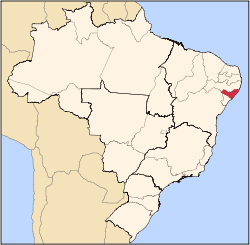 | |
| Palmeira dos Índios | ||
| Traipu | ||
| Litoral Norte Alagoano | ||
| Maceió | ||
| Mata Alagoana | ||
| Penedo | ||
| São Miguel dos Campos | ||
| Serrana dos Quilombos | ||
| Alagoana do Sertão do São Francisco | ||
| Batalha | ||
| Santana do Ipanema | ||
| Serrana do Sertão Alagoano | ||
This article is issued from Wikipedia - version of the 10/12/2016. The text is available under the Creative Commons Attribution/Share Alike but additional terms may apply for the media files.