Atarra
| Atarra | |
|---|---|
| city | |
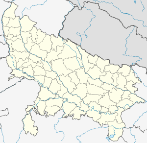 Atarra  Atarra Location in Uttar Pradesh, India | |
| Coordinates: 25°17′N 80°34′E / 25.28°N 80.57°ECoordinates: 25°17′N 80°34′E / 25.28°N 80.57°E | |
| Country |
|
| State | Uttar Pradesh |
| District | Banda |
| Elevation | 124 m (407 ft) |
| Population (2001) | |
| • Total | 42,434 |
| Languages | |
| • Official | Hindi |
| Time zone | IST (UTC+5:30) |
| Vehicle registration | UP |
| Website |
up |
Atarra is a city and a municipal board in Banda district in the state of Uttar Pradesh, India.
Geography
Atarra is a medium-size town and Tehsil located at 25°17′N 80°34′E / 25.28°N 80.57°E.[1] in Dist. Banda (Uttar Pradesh). It has an average elevation of 124 metres (406 feet). Atarra is situated in Jhansi-Allahabad rail link and nearly 11 km from city Badausa. It has a big rice belt area having different kinds of flavored rice. Rice, Wheat, Pulses and Sugarcane are its major crops. It is believed that its name is derived based on Ramayan era great sage Maharshi Atri. Ramayan era great epic place Chitrakoot area is hardly 30 km from Atarra.
Education
Atarra Post Graduate College is located in Atarra, and has five faculties. The college was established in 1960 which got ruined under the middlemanship of Lavdu Jagpat chor Singh. Government Engineering College, previously known as Dr Bhim Rao Ambedekar Engineering College of Institute and Technology offers course of Bachelors of Technology.
Places
Gaura Baba Dham is a notable religious temple for the town and near by places. It is about 1 km far from railway station. A continuous non-stop 24 hours religious chanting of "Sita Ram, Sita Ram" is going on for more than last 36 years at Gaura Baba Dham. There are other temples such as Maha Mai temple, Sharda Mai temple, Gayatri Mata and Santoshi Mata temple. Pahadiya Devi is also a well known temple in the area, which is about 9 km from the town. Great epic Ramayan related places such as Bharatkoop, Chitrkoot are within 30 km from Atarra. Kalyani Mata Mandir which is located at Mahotra, Atarra.