Bains, Louisiana
| Bains | |
|---|---|
| Unincorporated community | |
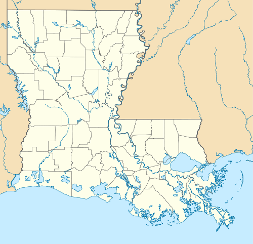 Bains Location within the state of Louisiana | |
| Coordinates: 30°49′51″N 91°23′12″W / 30.83083°N 91.38667°WCoordinates: 30°49′51″N 91°23′12″W / 30.83083°N 91.38667°W | |
| Country | United States |
| State | Louisiana |
| Parish | West Feliciana |
| Elevation | 187 ft (57 m) |
| Time zone | Central (CST) (UTC-6) |
| • Summer (DST) | CDT (UTC-5) |
| GNIS feature ID | 532281[1] |
Bains is an unincorporated community in West Feliciana Parish, Louisiana, United States. Its elevation is 187 feet (57 m).[1]
History
Bains was named for Dr. Henry Bains, a plantation owner.[2]
Education
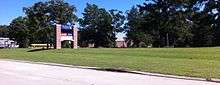
The entrance to the West Feliciana Parish Public Schools schools complex in Bains
Residents are zoned to West Feliciana Parish Public Schools. Elementary school children attend Bains Lower Elementary School and Bains Elementary School in Bains. Secondary schools serving Bains are West Feliciana Middle School and West Feliciana High School in Bains.[3]
The West Feliciana Parish Library is located in St. Francisville.[4] The library, previously a part of the Audubon Regional Library System, became independent in January 2004.[5]
References
- 1 2 "Bains, Louisiana". Geographic Names Information System. United States Geological Survey.
- ↑ Leeper, Clare D'Artois (19 October 2012). Louisiana Place Names: Popular, Unusual, and Forgotten Stories of Towns, Cities, Plantations, Bayous, and Even Some Cemeteries. LSU Press. p. 26. ISBN 978-0-8071-4740-5.
- ↑ "Schools." West Feliciana Parish Public Schools. Retrieved on August 16, 2010.
- ↑ "Directory." West Feliciana Parish Library. Retrieved on September 29, 2010.
- ↑ "About Us." West Feliciana Parish Library. Retrieved on September 29, 2010.
Municipalities and communities of West Feliciana Parish, Louisiana, United States | ||
|---|---|---|
| Town | 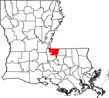 | |
| Unincorporated communities | ||
This article is issued from Wikipedia - version of the 10/27/2016. The text is available under the Creative Commons Attribution/Share Alike but additional terms may apply for the media files.