Banfora Airport
"DFOB" redirects here. For the dairy co-op, see Dairy Farmers of Britain.
| Banfora Airport | |||||||||||
|---|---|---|---|---|---|---|---|---|---|---|---|
| IATA: BNR – ICAO: DFOB | |||||||||||
| Summary | |||||||||||
| Airport type | Public | ||||||||||
| Serves | Banfora | ||||||||||
| Location |
| ||||||||||
| Elevation AMSL | 984 ft / 300 m | ||||||||||
| Coordinates | 10°41′21.7″N 4°43′39.1″W / 10.689361°N 4.727528°WCoordinates: 10°41′21.7″N 4°43′39.1″W / 10.689361°N 4.727528°W | ||||||||||
| Map | |||||||||||
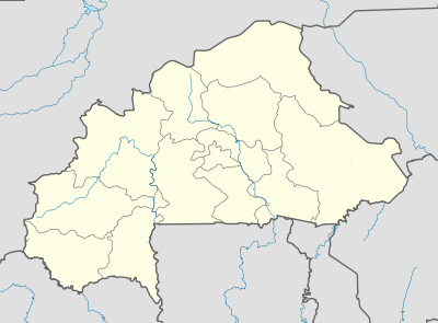 DFOB Location of Banfora Airport in Burkina Faso | |||||||||||
| Runways | |||||||||||
| |||||||||||
Banfora Airport (IATA: BNR, ICAO: DFOB) is a public use airport located 4 nm north-northeast of Banfora, Comoé, Burkina Faso.
See also
References
- ↑ Airport record for Banfora Airport at Landings.com. Retrieved 2013-08-22
- ↑ Google (2013-08-22). "location of Banfora Airport" (Map). Google Maps. Google. Retrieved 2013-08-22.
External links
- Airport record for Banfora Airport at Landings.com
This article is issued from Wikipedia - version of the 11/8/2016. The text is available under the Creative Commons Attribution/Share Alike but additional terms may apply for the media files.