Tambao Airport
| Tambao Airport | |||||||||||
|---|---|---|---|---|---|---|---|---|---|---|---|
| IATA: TMQ – ICAO: DFEM | |||||||||||
| Summary | |||||||||||
| Serves | Tambao, Oudalan Province, Sahel Region, Burkina Faso | ||||||||||
| Location |
| ||||||||||
| Elevation AMSL | 250 m / 820 ft | ||||||||||
| Coordinates | 14°47′25″N 0°02′20″E / 14.79028°N 0.03889°ECoordinates: 14°47′25″N 0°02′20″E / 14.79028°N 0.03889°E | ||||||||||
| Maps | |||||||||||
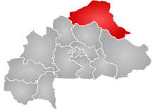 Sahel Region in Burkina Faso | |||||||||||
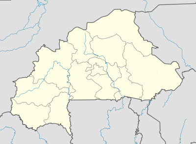 TMQ Location of the airport in Burkina Faso | |||||||||||
| Runways | |||||||||||
| |||||||||||
Tambao Airport (IATA: TMQ, ICAO: DFEM) is an airstrip serving the manganese mining site of Tambao in the Oudalan Province, part of the Sahel Region of Burkina Faso.
See also
References
- ↑ Bing Maps - Tambao runway
- ↑ Airport record for Tambao Airport at Landings.com. Retrieved 2013-08-22
- ↑ Google (2013-08-22). "location of Tambao Airport" (Map). Google Maps. Google. Retrieved 2013-08-22.
- ↑ Airport information for Tambao Airport at Search (for) Travel website.
External links
- Airport record for Tambao Airport at Landings.com
This article is issued from Wikipedia - version of the 12/4/2016. The text is available under the Creative Commons Attribution/Share Alike but additional terms may apply for the media files.