Bangor, Saskatchewan
| Village of Bangor | |
|---|---|
| Village | |
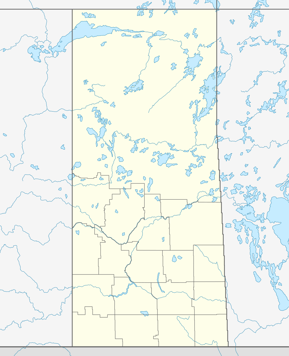  Location of Bangor in Saskatchewan | |
| Coordinates: 50°28′55″N 102°12′11″W / 50.482°N 102.203°W | |
| Country | Canada |
| Province | Saskatchewan |
| Region | Saskatchewan |
| Census division | No.5 |
| Rural Municipality | Fertile Belt No. 183 |
| Post office Founded | N/A |
| Village established | N/A |
| Government | |
| • Former Mayor | N/A |
| Population (2001) | |
| • Total | 50 |
| Time zone | CST |
| Postal code | S0A 0E0 |
| Area code(s) | 306 |
Bangor (2006 population 50) is a village in the Fertile Belt Rural Municipality No. 183, Saskatchewan, Canada.
Demographics
| Canada census – Bangor, Saskatchewan community profile | |||
|---|---|---|---|
| 2006 | |||
| Population: | 50 (4.2% from 2001) | ||
| Land area: | 1.65 km2 (0.64 sq mi) | ||
| Population density: | 30.2/km2 (78/sq mi) | ||
| Median age: | 60.5 (M: 59.0, F: 60.5) | ||
| Total private dwellings: | 16 | ||
| Median household income: | |||
| References: 2006[1] | |||
See also
References
- ↑ "2006 Community Profiles". Canada 2006 Census. Statistics Canada. March 30, 2011. Retrieved 2009-02-24.
External links
 |
Yorkton | | ||
| Waldron | |
Atwater | ||
| ||||
| | ||||
| Stockholm |
| Subdivisions | |
|---|---|
| Communities | |
| Cities | |
| Topics |
|
| |
Coordinates: 50°28′55″N 102°12′11″W / 50.482°N 102.203°W
This article is issued from Wikipedia - version of the 8/7/2016. The text is available under the Creative Commons Attribution/Share Alike but additional terms may apply for the media files.