Bbaale
| Bbaale | |
|---|---|
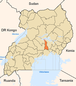
 Bbaale Map of Uganda showing the location of Bbaale. | |
| Coordinates: 01°05′51″N 32°53′12″E / 1.09750°N 32.88667°ECoordinates: 01°05′51″N 32°53′12″E / 1.09750°N 32.88667°E | |
| Country | Uganda |
| District | Kayunga District |
| Elevation | 1,060 m (3,480 ft) |
| Time zone | EAT (UTC+3) |
Bbaale is a town in the Kayunga District in Uganda. It is the location of the headquarters of Bbaale County. The correct phonetic spelling is with two "b"s and two "a"s, although literature exists in which it is spelled Bale.
Location
Bbaale is approximately 53 kilometres (33 mi), by road, north of Kayunga, the largest town in Kayunga District and the location of the district headquarters.[1] This is approximately 16 kilometres (9.9 mi) northwest of Namasagali in Kamuli District, across the Nile River.[2] The coordinates of Bbaale are:1°05'51.0"N, 32°53'12.0"E (Latitude:1.097500; Longitude:32.886667). [3]
Overview
Bbaale is on the western banks of the Victoria Nile. It is the location of the headquarters of Bbaale County, one of the two counties that constitute Kayunga District, the other being Ntenjeru County.
Points of interest
The following points of interest lie within Bbaale or near its borders:
- The headquarters of Bbaale County - one of the two counties that constitute Kayunga District, the other being Ntenjeru County
- The offices of Bbaale Town Council
- Bbaale Central Market - the largest fresh-produce market in the town
- The western banks of the Victoria Nile - located approximately 6 kilometres (3.7 mi), east of Bbaale
- Kayunga–Galiraya Road - The road passes through town in a south to north direction.
See also
References
- ↑ "Road Distance Between Kayunga Town And Bbaale Town With Map". Globefeed.com. Retrieved 10 February 2015.
- ↑ "Straight Line Distance Between Bbaale And Namasagali With Map". Globefeed.com. Retrieved 10 February 2015.
- ↑ Google (2 July 2015). "Location of Bbaale Town At Google Maps" (Map). Google Maps. Google. Retrieved 2 July 2015.
External links
Capital: Kayunga | ||
| Counties and sub-counties |
|  |
| Towns and villages | ||
| Transport | ||
| Energy | ||
| Health | ||
| Notable landmarks | ||
| Geography | ||
| Education |
| |
| Notable people | ||