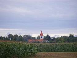
Boheľov
| Boheľov Bögellő | |
|---|---|
| village | |
 | |
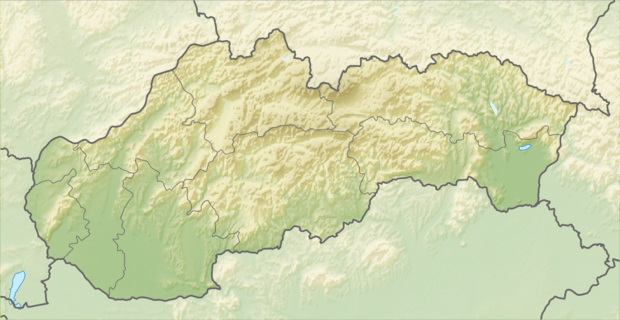 Location of the village | |
| Coordinates: 47°55′00″N 17°42′00″E / 47.91667°N 17.70000°ECoordinates: 47°55′00″N 17°42′00″E / 47.91667°N 17.70000°E | |
| Country |
|
| Region | Trnava |
| District | Dunajská Streda |
| First written mention | 1456 |
| Government | |
| • Mayor | Mária Kázmér[1][2] (Party of the Hungarian Coalition) |
| Area | |
| • Total | 11.18 km2 (4.32 sq mi) |
| Elevation | 112 m (367 ft) |
| Population (2001)[3] | |
| • Total | 359 |
| • Estimate (2008) | 354 |
| • Density | 43/km2 (110/sq mi) |
| Ethnicity[3] | |
| • Hungarians | 97,77% |
| • Slovakians | 0,84% |
| Time zone | EET (UTC+1) |
| • Summer (DST) | EEST (UTC+2) |
| Postal Code | 930 10 |
| Area code(s) | +421 31 |
Boheľov (Hungarian: Bögellő, Hungarian pronunciation:[ˈbøɡɛlløː]) is a village and municipality in the Dunajská Streda District in the Trnava Region of south-west Slovakia.
History
In the 9th century, the territory of Boheľov became part of the Kingdom of Hungary. After the Austro-Hungarian army disintegrated in November 1918, Czechoslovak troops occupied the area, later acknowledged internationally by the Treaty of Trianon. Between 1938 and 1945 Boheľov once more became part of Miklós Horthy's Hungary through the First Vienna Award. From 1945 until the Velvet Divorce, it was part of Czechoslovakia. Since then it has been part of Slovakia.
See also
References
- ↑ Election results 2006 Archived August 11, 2011, at the Wayback Machine.
- ↑ Local election 2010 results by the Statistical Office of the Slovak Republic Archived August 11, 2011, at the Wayback Machine.
- 1 2 "Institute of Informatics and Statistics". Archived from Institute of Informatics and Statistics the original Check
|url=value (help) on 2011-02-26.
Genealogical resources
The records for genealogical research are available at the state archive "Statny Archiv in Bratislava, Slovakia"
- Roman Catholic church records (births/marriages/deaths): 1713-1905 (parish B)
- Reformated church records (births/marriages/deaths): 1784-1902 (parish B)
External links
- Local calvinist parish website (Hungarian)
- News on Bögellő (Hungarian)
- Local CSEMADOK organization info (Hungarian)
- Surnames of living people in Bohelov