Bokhtar District
| Bokhtar District (Tajik: Ноҳияи Бохтар / Persian: ناحیۀ باختر) | |
|---|---|
 | |
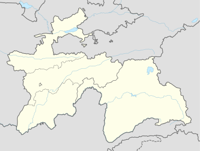 Bokhtar District Bokhtar District Location in Tajikistan | |
| Coordinates: 37°46′3″N 68°48′6″E / 37.76750°N 68.80167°ECoordinates: 37°46′3″N 68°48′6″E / 37.76750°N 68.80167°E | |
| Country |
|
| Province | Khatlon |
| Capital | Ismoil Somoni |
| Area | |
| • Land | 1,101,4 km2 (4,253 sq mi) |
| Population (2008) | |
| • Total | 173 43 |
| • Ethnicities |
|
| • Languages | Tajik-Persian |
| +992 3245 | 735140 |
| Website | tj |
Bokhtar District (Tajik: Ноҳияи Бохтар / Persian: ناحیۀ باختر) is a district in Khatlon Province, Tajikistan, surrounding the provincial capital Qurghonteppa. Its administrative capital is the village of Ismoil Somoni (pop. 8,000).[1] The population in Bokhtar district is 209,100 (1 January 2008 estimate).[2]
History
On the 7 January 1944 the district was created under the named Oktyabr District (ноҳияи Октябр) was created in the Qurghonteppa Oblast. On 6 January 1965 the District was renamed to Kommunisti District (ноҳияи Коммунистӣ). And in 1990 the district was finally renamed the Bokhtar District.
Geology
Bokhtar area forms part of Amu Darya basin. This basin has been estimated to contain vast reserves of oil, natural gas and condensate.[3]
References
- ↑ Republic of Tajikistan, map showing administrative division as of January 1, 2004, "Tojikkoinot" Cartographic Press, Dushanbe
- ↑ Population of the Republic of Tajikistan as of 1 January 2008, State Committee of Statistics, Dushanbe, 2008 (Russian)
- ↑ "Tethys: Tajikistan Resource Upgrade 27.5 Billion BOE". The Gazette of Central Asia. Satrapia. 19 July 2012. Retrieved 20 July 2012.
| Capital |  | |
|---|---|---|
| Districts | ||
| Main cities and towns | ||