Hamadoni District
| Hamadoni District (Tajik: Ноҳияи Ҳамадони / Persian: ناحیۀ همهدانی) | |
|---|---|
 | |
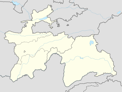 Hamadoni District Moskovskiy Location in Tajikistan | |
| Coordinates: 37°39′24″N 69°37′45″E / 37.65667°N 69.62917°ECoordinates: 37°39′24″N 69°37′45″E / 37.65667°N 69.62917°E | |
| Country |
|
| Province | Khatlon |
| Capital | Moskovskiy |
| Population (2008) | |
| • Total | 128,9 |
| • Ethnicities |
|
| • Languages | Tajik-Persian |
| ? | ? |
| Website | tj |
Hamadoni District (Tajik: Ноҳияи Ҳамадони / Persian: ناحیۀ همهدانی) is a district in the south-east of Khatlon Province of Tajikistan, located south of Kulob and stretching along a section of the Panj on the border with Afghanistan. Population 123,800 (2007 data).[1] Between 1950 and 2004 called Moskovskiy District,[2] then renamed in honor of Mir Said Ali Hamadoni, a 14th-century Persian poet,saint and scholar who is buried in Khatlon.
The district capital is Moskovskiy or Moskva (Tajik: Маскав)[3] (located at 37°39′24″N 69°37′45″E / 37.65667°N 69.62917°E).[4]
References
- ↑ Population of the Republic of Tajikistan as of 1 January 2008, State Committee of Statistics, Dushanbe, 2008 (Russian)
- ↑ Moskovskiy district renamed Hamadoni district, 2004 (Russian)
- ↑ Republic of Tajikistan, map showing administrative division as of January 1, 2004, "Tojikkoinot" Cartographic Press, Dushanbe
- ↑ Location of Moskva, the capital of Hamadoni district
| Capital |  | |
|---|---|---|
| Districts | ||
| Main cities and towns | ||
This article is issued from Wikipedia - version of the 1/2/2016. The text is available under the Creative Commons Attribution/Share Alike but additional terms may apply for the media files.