Bolar, Virginia
| Bolar, Virginia | |
|---|---|
| Unincorporated community | |
 Bolar, Virginia  Bolar, Virginia | |
| Coordinates: 38°13′02″N 79°40′35″W / 38.21722°N 79.67639°WCoordinates: 38°13′02″N 79°40′35″W / 38.21722°N 79.67639°W | |
| Country | United States |
| State | Virginia |
| County | Bath, Highland |
| Elevation | 2,238 ft (682 m) |
| Time zone | Eastern (EST) (UTC-5) |
| • Summer (DST) | EDT (UTC-4) |
| GNIS feature ID | 1492604[1] |
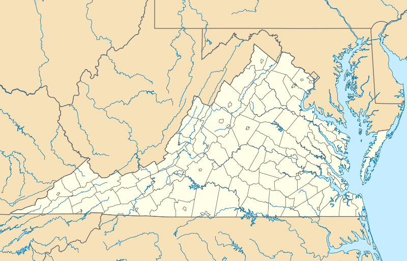
Bolar is an unincorporated community in Bath County and Highland County, Virginia, United States.[1][2] The community is located approximately 14.5 miles (23.3 km) southwest of Monterey, Virginia and 13.4 miles (21.6 km) northeast of Warm Springs, Virginia.[3] Bolar is situated along Bolar Run on Big Valley Road, which roughly follows the county line through the community.[4]
References
- 1 2 "Bolar". Geographic Names Information System. United States Geological Survey. Retrieved December 29, 2013.
- ↑ Morton, Oren Frederic (1911). A History of Highland County, Virginia. p. 161.
- ↑ Google (January 15, 2014). "Bolar, Virginia" (Map). Google Maps. Google. Retrieved January 15, 2014.
- ↑ "The National Map". United States Geological Survey. Retrieved January 15, 2014.
Municipalities and communities of Bath County, Virginia, United States | ||
|---|---|---|
| CDPs | 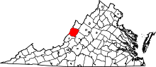 | |
| Unincorporated communities |
| |
| Footnotes | ‡This populated place also has portions in an adjacent county or counties | |
Municipalities and communities of Highland County, Virginia, United States | ||
|---|---|---|
| Town | 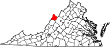 | |
| Unincorporated communities | ||
| Footnotes | ‡This populated place also has portions in an adjacent county or counties | |
This article is issued from Wikipedia - version of the 11/2/2016. The text is available under the Creative Commons Attribution/Share Alike but additional terms may apply for the media files.