Boundary Creek Wildlife Management Area
| Boundary Creek Wildlife Management Area | |
|---|---|
|
IUCN category IV (habitat/species management area) | |
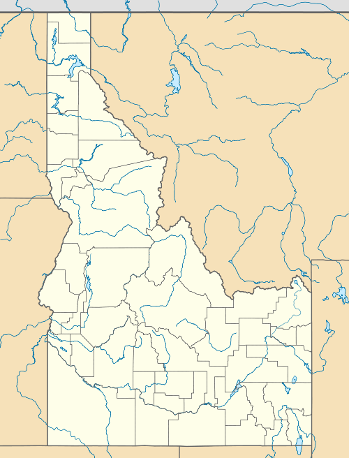 | |
| Location | Boundary County, Idaho, United States |
| Nearest city | Bonners Ferry, ID |
| Coordinates | 48°58′58″N 116°32′55″W / 48.982655°N 116.548659°WCoordinates: 48°58′58″N 116°32′55″W / 48.982655°N 116.548659°W |
| Area | 1,405 acres (5.7 km2) |
| Established | 1999 |
| Governing body | Idaho Department of Fish and Game |
| http://fishandgame.idaho.gov/IFWIS/ibt/site.aspx?id=N2 | |
Boundary Creek Wildlife Management Area at 1,405 acres (5.69 km2) is an Idaho wildlife management area in Boundary County along the border with British Columbia, Canada.[1] It was purchased in 1999 with Fish and Game license funds Bonneville Power Administration wildlife mitigation funds.[2] The WMA is open from sunrise to sunset, and access is free.
It is located along the Kootenai River, which contains the white sturgeon, and endangered species.[3] Wildlife found in the WMA included ruffed grouse, wild turkey, rough-legged hawk, great horned owl, and a variety of waterfowl and other wildlife.[4]
References
- ↑ "Boundary Creek Wildlife Management Area". Idaho Department of Fish and Game. Archived from the original on February 20, 2013. Retrieved May 28, 2012.
- ↑ Gould, Jeff. "Federal Aid in Wildlife Restoration: Wildlife Habitat Management" (PDF). Idaho Department of Fish and Game. Retrieved May 28, 2012.
- ↑ "Boundary Creek Wildlife Management Area". Public Lands Information Center. Archived from the original on February 20, 2013. Retrieved May 28, 2012.
- ↑ "Wildlife Management Areas". Idaho Department of Fish and Game. Archived from the original on February 20, 2013. Retrieved May 28, 2012.
This article is issued from Wikipedia - version of the 11/18/2016. The text is available under the Creative Commons Attribution/Share Alike but additional terms may apply for the media files.