Fort Boise Wildlife Management Area
| Fort Boise Wildlife Management Area | |
|---|---|
|
IUCN category IV (habitat/species management area) | |
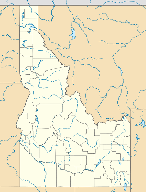 | |
| Location | Canyon County, Idaho, United States |
| Nearest city | Parma, ID |
| Coordinates | 43°49′05″N 117°00′36″W / 43.817939°N 117.009865°WCoordinates: 43°49′05″N 117°00′36″W / 43.817939°N 117.009865°W |
| Area | 1,630 acres (6.6 km2) |
| Established | 1956 |
| Governing body | Idaho Department of Fish and Game |
| http://fishandgame.idaho.gov/ifwis/ibt/site.aspx?id=53 | |
Fort Boise Lake Wildlife Management Area at 1,630 acres (6.6 km2) is an Idaho wildlife management area in Canyon County near Parma.[1] It was established in 1956 when 330 acres (130 ha) were deeded to the Idaho Department of Fish and Game by Idaho Power Company.[2]
The WMA's wetlands are within the Boise and Snake rivers' floodplains and were originally used to replace goose nesting islands on the Snake River flooded by the Brownlee Dam.[3] The shallow water and thick vegetation attract waterfowl and wildlife watchers and hunters.[4]
References
- ↑ "Fort Boise Wildlife Management Area". Idaho Department of Fish and Game. Archived from the original on February 20, 2013. Retrieved May 29, 2012.
- ↑ Kofoed, Clair (July 2003). "Fort Boise Wildlife Management Area Management Plan". Idaho Department of Fish and Game. Archived from the original (PDF) on February 20, 2013. Retrieved May 29, 2012.
- ↑ "Fort Boise Wildlife Management Area, Idaho". Public Lands Information Center. Archived from the original on February 20, 2013. Retrieved May 29, 2012.
- ↑ "Wildlife Management Areas". Idaho Department of Fish and Game. Archived from the original on February 20, 2013. Retrieved May 29, 2012.
This article is issued from Wikipedia - version of the 11/19/2016. The text is available under the Creative Commons Attribution/Share Alike but additional terms may apply for the media files.