Breidtinden (Berg)
| Breidtinden | |
|---|---|
| Reaiddaidčohkka | |
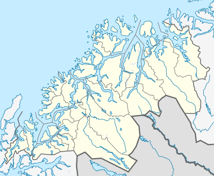 Breidtinden Location in Troms | |
| Highest point | |
| Elevation | 1,017 m (3,337 ft) |
| Prominence | 1,017 m (3,337 ft) |
| Isolation | 25.83 kilometres (16.05 mi) |
| Coordinates | 69°27′19″N 17°38′54″E / 69.45528°N 17.64833°ECoordinates: 69°27′19″N 17°38′54″E / 69.45528°N 17.64833°E |
| Geography | |
| Location | Berg, Troms, Norway |
| Topo map | 1433 IV Mefjordbotn |
Breidtinden (Northern Sami: Reaiddaidčohkka[1]) is the highest mountain on the island Senja in Troms county, Norway. It is located in the northeastern part of the municipality of Berg, southeast of the Mefjorden and southwest of the village of Mefjordbotn. The village of Senjahopen lies about 10 kilometres (6.2 mi) northwest of the mountain. The lake Svartholvatnet is located along the southwestern base of the mountain.[2]
References
- ↑ "Breidtinden" (in Norwegian). yr.no. Retrieved 2010-04-04.
- ↑ "NorKart" (in Norwegian). DerDuBor. Retrieved 2010-04-04.
External links
 Senja travel guide from Wikivoyage
This article is issued from Wikipedia - version of the 5/29/2015. The text is available under the Creative Commons Attribution/Share Alike but additional terms may apply for the media files.