Broomehill, Western Australia
| Broomehill Western Australia | |
|---|---|
 Broomehill | |
| Coordinates | 33°50′42″S 117°38′02″E / 33.84500°S 117.63389°ECoordinates: 33°50′42″S 117°38′02″E / 33.84500°S 117.63389°E |
| Population | 377 (2006 census)[1] |
| Established | 1890 |
| Postcode(s) | 6318 |
| Elevation | 332 m (1,089 ft) |
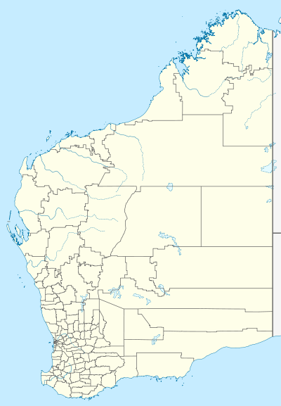
| Location | |
| LGA(s) | Shire of Broomehill-Tambellup |
| State electorate(s) | Wagin |
| Federal Division(s) | O'Connor |
Broomehill is a town on the Great Southern Highway between Katanning and Albany, in the Great Southern region of Western Australia.
History
The town of Broomehill owes its creation to the Great Southern Railway, which was completed in 1889. The railway runs from Beverley to Albany. Broomehill is named after Sir Frederick Napier Broome (1842–96) who was then the Governor of Western Australia.
The townsite was gazetted by the Western Australian Land Company in 1890, which was recognised by the state government in 1897.[2]
A group of settlers from the now extinct town of Eticup moved to the present site of Broomehill to help establish a township after the construction of the railway was completed. These settlers included the Withams, the Walshes, and the Curnows. These three families worked hard to establish the early structures. In 1892, a Police Station and Post Office were also established.
The population of the town was 72 (37 males and 35 females) in 1898.[3]
The official spelling of Broomehill was changed from two words to one in 1959.[4]
The Holland Track, a well known walking track, begins in Broomehill and ends in Coolgardie.[5]
The economy of the area is dependent on wheat and sheep farming although recently farmers have diversified into viticulture and aquaculture in the form of Barramundi farming.[6][7]
The town is located 302 km southeast of Perth on the Great Southern Highway and is 20 km south of Katanning.
The main industry in town is wheat farming with the town being a Cooperative Bulk Handling receival site.[8]
References
- ↑ Australian Bureau of Statistics (25 October 2007). "Community Profile Series : Broomehill (State Suburb)". 2006 Census of Population and Housing. Retrieved 20 September 2008.
- ↑ "Albany Gateway - Telling Tales about Broomehill". 2003. Archived from the original on 21 July 2008. Retrieved 20 September 2008.
- ↑ "Population of Western Australia". Western Mail. Perth, Western Australia: National Library of Australia. 22 April 1898. p. 23. Retrieved 31 May 2012.
- ↑ Western Australian Land Information Authority. "History of country town names – B". Retrieved 27 September 2008.
- ↑ "Shire of Broomehill-Tambellup - Holland Track". 2005. Retrieved 27 September 2008.
- ↑ "Sydney Morning Herald - Travel - Broomehill". The Sydney Morning Herald. 8 February 2004. Retrieved 27 September 2008.
- ↑ "Shire of Broomehill-Tambellup - - Tourist Sites". 2005. Retrieved 27 September 2008.
- ↑ "CBH Receival Sites - Contact Details" (PDF). 2010. Archived from the original (PDF) on 18 March 2012. Retrieved 31 March 2013.
External links
![]() Media related to Broomehill, Western Australia at Wikimedia Commons
Media related to Broomehill, Western Australia at Wikimedia Commons