Brushy Run, West Virginia
| Brushy Run | |
|---|---|
| Unincorporated community | |
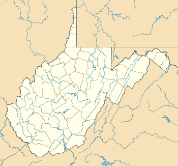 Brushy Run  Brushy Run Location within the state of West Virginia | |
| Coordinates: 38°50′15″N 79°14′51″W / 38.83750°N 79.24750°WCoordinates: 38°50′15″N 79°14′51″W / 38.83750°N 79.24750°W | |
| Country | United States |
| State | West Virginia |
| County | Pendleton |
| Time zone | Eastern (EST) (UTC-5) |
| • Summer (DST) | EDT (UTC-4) |
| GNIS feature ID | 1550517[1] |
Brushy Run is an unincorporated community located on U.S. Highway 220 in Pendleton County, West Virginia, United States. Brushy Run lies where North Mill Creek is formed at the confluence of Stony Creek and Brushy Run, from which the community takes its name.
Climate
The climate in this area has mild differences between highs and lows, and there is adequate rainfall year round. According to the Köppen Climate Classification system, Brushy Run has a marine west coast climate, abbreviated "Cfb" on climate maps.[2]
References
Municipalities and communities of Pendleton County, West Virginia, United States | ||
|---|---|---|
| Town | 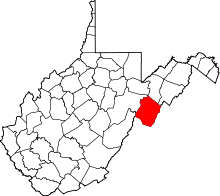 | |
| CDP | ||
| Unincorporated communities | ||
| Ghost towns | ||
This article is issued from Wikipedia - version of the 7/28/2016. The text is available under the Creative Commons Attribution/Share Alike but additional terms may apply for the media files.