Burg-Reuland
For the town of Reuland in Luxembourg, see Reuland.
| Burg-Reuland | |||
|---|---|---|---|
| Municipality | |||
 | |||
| |||
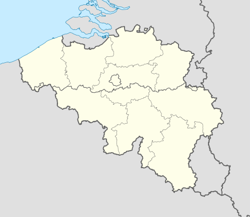 Burg-Reuland Location in Belgium | |||
|
Location of Burg-Reuland in the province of Liège 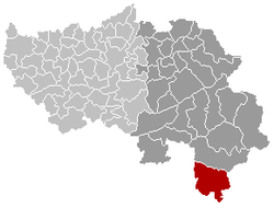 | |||
| Coordinates: 50°11′N 06°08′E / 50.183°N 6.133°ECoordinates: 50°11′N 06°08′E / 50.183°N 6.133°E | |||
| Country | Belgium | ||
| Community | German-speaking Community | ||
| Region | Wallonia | ||
| Province | Liège | ||
| Arrondissement | Verviers | ||
| Government | |||
| • Mayor | Joseph Maraite (IC) | ||
| • Governing party/ies | IC | ||
| Area | |||
| • Total | 108.96 km2 (42.07 sq mi) | ||
| Population (1 January 2016)[1] | |||
| • Total | 3,964 | ||
| • Density | 36/km2 (94/sq mi) | ||
| Postal codes | 4790-4791 | ||
| Area codes | 080 | ||
| Website | www.burg-reuland.be | ||


Burg-Reuland is a municipality located in the Belgian province of Liège. The name of the municipality refers to the castle "Burg-Reuland", which is located in the center of the community. On January 1, 2006, Burg-Reuland had a total population of 3,903. The total area is 108.96 km² which gives a population density of 36 inhabitants per km². Burg-Reuland is one of the municipalities of the German-speaking Community of Belgium.
The municipality consists of the following sub-municipalities: Reuland and Thommen.
The point where Belgium, Germany and Luxembourg meet is located on the river Our, near the village of Ouren in this municipality.
See also
References
- ↑ Population per municipality as of 1 January 2016 (XLS; 397 KB)
External links
-
 Media related to Burg-Reuland at Wikimedia Commons
 |
Vielsalm (WLX) | St. Vith | | |
| Gouvy (WLX) | |
Winterspelt (DE-RP) Heckhuscheid (DE-RP) Lützkampen (DE-RP) | ||
| ||||
| | ||||
| Troisvierges (LU-D) | Weiswampach (LU-D), Clervaux (LU-D) | Harspelt (DE-RP) Sevenig (DE-RP) |
Municipalities of the Province of Liège | ||
|---|---|---|
| Huy |  | |
| Liège | ||
| Verviers | ||
| Waremme | ||
This article is issued from Wikipedia - version of the 12/1/2016. The text is available under the Creative Commons Attribution/Share Alike but additional terms may apply for the media files.