Burnside, Iowa
| Burnside | |
|---|---|
| Unincorporated community | |
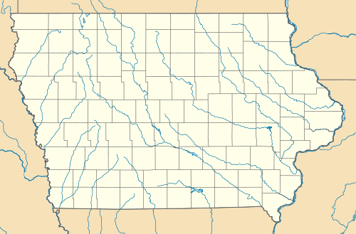 Burnside Location within the state of Iowa | |
| Coordinates: 42°20′45″N 94°6′25″W / 42.34583°N 94.10694°WCoordinates: 42°20′45″N 94°6′25″W / 42.34583°N 94.10694°W | |
| Country | United States |
| State | Iowa |
| County | Webster |
| Elevation | 1,138 ft (347 m) |
| Time zone | Central (CST) (UTC-6) |
| • Summer (DST) | CDT (UTC-5) |
| ZIP codes | 50521 |
| GNIS feature ID | 454998 |
Burnside is an unincorporated community in Webster County, Iowa, United States. Its elevation is 1,138 feet (347 m).[1] Although it is unincorporated, it has a post office, with the ZIP code of 50521.[2] Despite its small size, Burnside is the location of the area high school, Southeast Webster, originally known as Central Webster. The high school hold about 250 students 7-12 grade
Notable residents and natives
- Clark R. Mollenhoff, journalist
References
- ↑ U.S. Geological Survey Geographic Names Information System: Burnside, Iowa, Geographic Names Information System, 1979-04-30. Accessed 2008-04-08.
- ↑ Zip Code Lookup Archived May 17, 2011, at the Wayback Machine.
Municipalities and communities of Webster County, Iowa, United States | ||
|---|---|---|
| Cities | ||
| Townships | ||
| CDP | ||
| Communities | ||
| Footnotes | ‡This populated place also has portions in an adjacent county or counties | |
This article is issued from Wikipedia - version of the 11/19/2016. The text is available under the Creative Commons Attribution/Share Alike but additional terms may apply for the media files.