Cabinda Airport
| Cabinda Airport Aeroporto de Cabinda | |||||||||||
|---|---|---|---|---|---|---|---|---|---|---|---|
| IATA: CAB – ICAO: FNCA | |||||||||||
| Summary | |||||||||||
| Airport type | Public | ||||||||||
| Operator | Government | ||||||||||
| Serves | Cabinda, Angola | ||||||||||
| Elevation AMSL | 66 ft / 20 m | ||||||||||
| Coordinates | 5°35′50″S 12°11′17″E / 5.59722°S 12.18806°ECoordinates: 5°35′50″S 12°11′17″E / 5.59722°S 12.18806°E | ||||||||||
| Map | |||||||||||
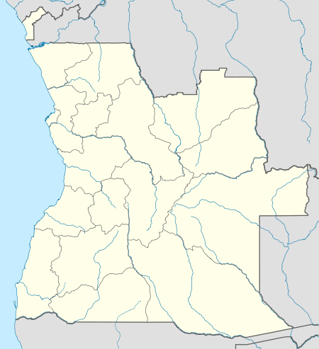 CAB Location of Airport in Angola | |||||||||||
| Runways | |||||||||||
| |||||||||||
Cabinda Airport (Portuguese: Aeroporto de Cabinda) (IATA: CAB, ICAO: FNCA) is an airport serving Cabinda, a city in the Cabinda Province, an exclave of Angola.
The Cabinda VOR-DME (Ident: VCA) is located 1.5 nautical miles south of the runway.[5]
Airlines and destinations
| Airlines | Destinations |
|---|---|
| SonAir | Luanda |
| TAAG Angola Airlines | Luanda |
See also
 Angola portal
 Aviation portal
- List of airports in Angola
- Transport in Angola
References
- ↑ Airport information for FNCA from DAFIF (effective October 2006)
- ↑ Airport information for CAB at Great Circle Mapper.
- ↑ "FNCA @ aerobaticsweb.org". Landings.com. Retrieved 2013-07-31.
- ↑ Google Maps - Cabinda
- ↑ SkyVector Aeronautical Charts
External links
- OurAirports - Cabinda
- OpenStreetMaps - Cabinda
- Photograph of Aeroporto de Cabinda (2003)
- Photograph of Aeroporto de Cabinda (2009)
- Accident history for CAB at Aviation Safety Network
- Current weather for FNCA at NOAA/NWS
This article is issued from Wikipedia - version of the 11/27/2016. The text is available under the Creative Commons Attribution/Share Alike but additional terms may apply for the media files.