Luau International Airport
| Luau International Airport | |||||||||||
|---|---|---|---|---|---|---|---|---|---|---|---|
| IATA: pending – ICAO: pending | |||||||||||
| Summary | |||||||||||
| Airport type | Public | ||||||||||
| Serves | Luau | ||||||||||
| Elevation AMSL | 3,609 ft / 1,100 m | ||||||||||
| Coordinates | 10°42′05″S 22°09′37″E / 10.70139°S 22.16028°ECoordinates: 10°42′05″S 22°09′37″E / 10.70139°S 22.16028°E | ||||||||||
| Map | |||||||||||
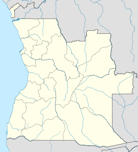 Luau Intl Location of Luau Int'l Airport in Angola | |||||||||||
| Runways | |||||||||||
| |||||||||||
|
Source: Google Maps[1] | |||||||||||
Luau International Airport (IATA: pending, ICAO: pending) is an airport serving Luau, a municipality in the Moxico Province of Angola. It is 6.5 kilometres (4.0 mi) west of the city, and may replace the Villa Teixeira de Sousa Airport (IATA: UAL, ICAO: FNUA), an unpaved airstrip that is within the city.
Luau city is on Angolan border with the Democratic Republic of the Congo, and is opposite the DRC city of Dilolo. The airport is part of a transportation plan that includes restoring rail and road linkage with the Katanga Province of the DRC.[2]
The airport was opened in February, 2015, by Angolan President, José Eduardo dos Santos.[3]
See also
 Angola portal
 Aviation portal
- List of airports in Angola
- Transport in Angola
References
- ↑ Google Maps - Luau Intl
- ↑ Inauguration of Luau International YouTube (Portuguese language)
- ↑ ANGOP - Luau International
External links
This article is issued from Wikipedia - version of the 12/5/2016. The text is available under the Creative Commons Attribution/Share Alike but additional terms may apply for the media files.