Cabrales
For the cheese, see Cabrales cheese.
| Cabrales | |||
|---|---|---|---|
| Municipality | |||
| |||
 | |||
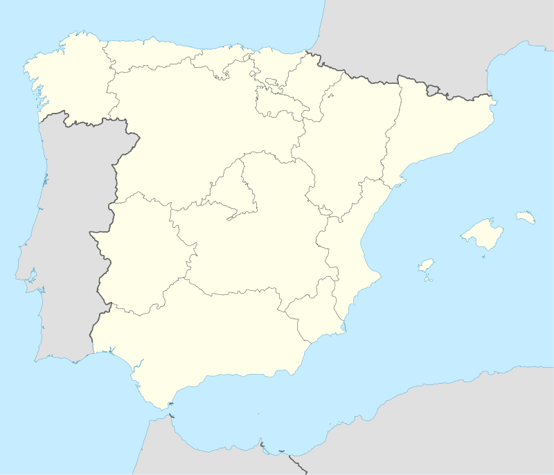 Cabrales Location in Spain | |||
| Coordinates: 43°17′N 4°46′W / 43.283°N 4.767°WCoordinates: 43°17′N 4°46′W / 43.283°N 4.767°W | |||
| Country |
| ||
| Autonomous community |
| ||
| Province | Asturias | ||
| Comarca | Oriente | ||
| Judicial district | Llanes | ||
| Capital | Carreña | ||
| Government | |||
| • Alcalde | José Vicente del Carmen Bustillo (PSOE) | ||
| Area | |||
| • Total | 238.29 km2 (92.00 sq mi) | ||
| Highest elevation | 2,648 m (8,688 ft) | ||
| Population | |||
| • Total | 2,233 | ||
| • Density | 9.4/km2 (24/sq mi) | ||
| Demonym(s) | cabraliego | ||
| Time zone | CET (UTC+1) | ||
| • Summer (DST) | CEST (UTC+2) | ||
| Postal code | 33555 | ||
| Website | Official website | ||


Cabrales is a municipality in the autonomous community of Asturias, northwestern Spain. It is situated between the Sierra de Cuera and the Picos de Europa, and is a region famous for its Cabrales cheese.
Important towns within the municipality include Arenas de Cabrales, one of the primary objectives of the Battle of El Mazuco in 1937. Nowadays Arenas' economy seems to be primarily based on tourism, although unlike many tourist centres it retains its authentic style – and hospitality.
Parishes
Cabrales municipality is divided into 9 parishes:

Panoramic view of Sotres town, municipality of Cabrales.

This article is issued from Wikipedia - version of the 6/30/2016. The text is available under the Creative Commons Attribution/Share Alike but additional terms may apply for the media files.