Onís
| Onís | ||
|---|---|---|
| Municipality | ||
| ||
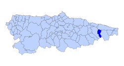 | ||
 Onís Location in Spain | ||
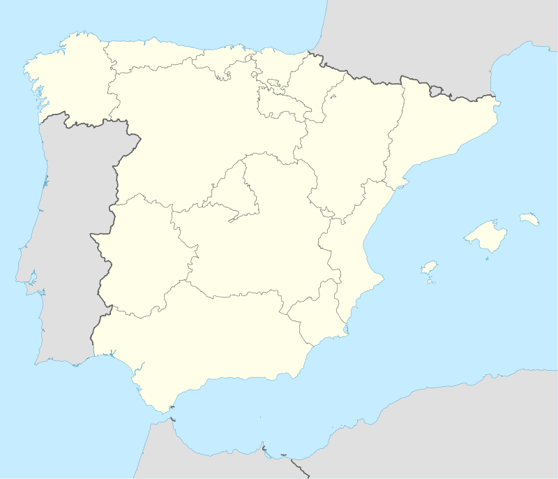
| Coordinates: 43°20′7″N 4°58′3″W / 43.33528°N 4.96750°WCoordinates: 43°20′7″N 4°58′3″W / 43.33528°N 4.96750°W | ||
| Country |
| |
| Autonomous community |
| |
| Province | Asturias | |
| Comarca | Oriente | |
| Judicial district | Cangas de Onís | |
| Capital | Benia de Onís | |
| Government | ||
| • Alcalde | José Antonio González Gutiérrez (PSOE) | |
| Area | ||
| • Total | 75.42 km2 (29.12 sq mi) | |
| Highest elevation | 2,129 m (6,985 ft) | |
| Population | ||
| • Total | 830 | |
| • Density | 11/km2 (29/sq mi) | |
| Time zone | CET (UTC+1) | |
| • Summer (DST) | CEST (UTC+2) | |
| Postal code | 33556 | |
| Website | Official website | |
Onís is a municipality and a parish in the Autonomous Community of the Principality of Asturias, Spain. The municipality is bordered on the north by Llanes, on the south by the province of León, to the east by Cabrales and to the west by Cangas de Onís.
The area of the municipality is 75 km2, being more of a third of its territory in the Picos de Europa National Park.[1] The population is dispersed over various population centers, being its capital de Benia de Onís. In 2007, the population is of 920 inhabitants, increasing remarkably during holiday times.
The source of the Güeña River, main affluent of the Sella River, is lowest point of the municipality with 175 m. Part of the Picos de Europa, the Pico de Verdilluenga is the highest point of the municipality with 2,129 m.
Parishes
- Bobia
- Onís
- La Robellada
Principal towns in the municipality
- Avín
- Benia de Onís
- Bobia de Arriba
- Bobia de Abajo
- Talavero
- La Robellada
- El Pedroso
- Gamonéu
- Pandellevandes
- Sirviella
- Demués
Notes
- ↑ Concejo de Onís. "Datos Básicos" (in Spanish). Archived from the original on 21 December 2007. Retrieved 28 November 2007.
External links
- Federación Asturiana de Concejos (Spanish)