California, West Virginia
| California | |
|---|---|
| Unincorporated community | |
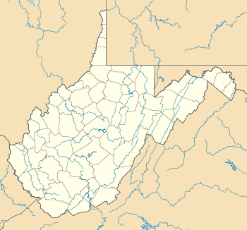 California  California Location within the state of West Virginia | |
| Coordinates: 39°7′40″N 81°18′28″W / 39.12778°N 81.30778°WCoordinates: 39°7′40″N 81°18′28″W / 39.12778°N 81.30778°W | |
| Country | United States |
| State | West Virginia |
| County | Wirt |
| Time zone | Eastern (EST) (UTC-5) |
| • Summer (DST) | EDT (UTC-4) |
| ZIP codes | 26180 |
California is a ghost town in northern Wirt County, West Virginia. It lies along the Hughes River, between the river and West Virginia Route 47 (the Parkersburg and Staunton Turnpike), about half a mile below the Ritchie County line, and just above the intersection of Route 47 with California House Road, or County Route 47–1.[1][2][3]
California is notable as a point where shallow deposits of petroleum naturally percolated to the earth's surface, a phenomenon common in the area, which spurred settlement at nearby Petroleum in Ritchie County, and Burning Springs, about fifteen miles south of California in Wirt County.[3] Oil from the California area was being collected and used as a commercial lubricant as early as the 1820s.[3] The first oil well at California was sunk in 1859 by Charles Shattuck and T. T. Jones, at about the same time as the well sunk by Edwin Drake near Titusville, Pennsylvania, often referred to as the first commercial oil well. This has led to some dispute as to which well was the earlier; Drake began drilling some months earlier, but did not discover oil until August 28.[3][4][5][6]
After the Civil War, the development of more productive oil fields led to the gradual abandonment of oil production at small wells such as those at California, Petroleum, and Burning Springs.[3] In 1924, there were six houses and eleven oil wells in the immediate vicinity, and fifteen more wells along a ridge on the south side of the Hughes River;[7] in 1957, there were three wells remaining at or near California, and four more across the river.[8] Today, a historical display including a replica oil derrick stands along route 47 just west of California House Road.[3][9]
References
- ↑ United States Geological Survey map, West Virginia, Elizabeth Quadrangle, Edition of December, 1906 (location of California marked).
- ↑ Google Maps (California not marked, but used to describe location with reference to modern route names).
- 1 2 3 4 5 6 "1860s Gusher to be Site of Petroleum Park", in the Charleston Gazette, 5 May 2002 ("an area known as California, located along the old Staunton-Parkersburg Turnpike (now present-day W.Va. 47) about 15 miles to the north of Burning Springs").
- ↑ Lois Mulkearn and Edwin V. Pugh, A Traveler's Guide to Historic Western Pennsylvania, University of Pittsburgh Press (1953), p. 300.
- ↑ Fran Capo and Scott Bruce, It Happened in Pennsylvania, Globe Pequot Press (2005), p. 40.
- ↑ Paul Lucier, Scientists and Swindlers: Consulting on Coal and Oil in America, 1820–1890, Johns Hopkins University Press (2008), p. 372 (note 107).
- ↑ United States Geological Survey map, West Virginia, Elizabeth Quadrangle, Edition of 1924.
- ↑ United States Geological Survey map, West Virginia, Elizabeth Quadrangle, Edition of 1957.
- ↑ Google Maps.
Municipalities and communities of Wirt County, West Virginia, United States | ||
|---|---|---|
| Town |  | |
| Unincorporated communities | ||
| Ghost towns | ||