Caney, Kentucky
This article is about the unincorporated community in Morgan County. For the city in Knott Co. known to its inhabitants as 'Caney' or 'Caney Creek', see Pippa Passes, Kentucky.
| Caney | |
|---|---|
| Unincorporated community | |
 Caney  Caney Location within the state of Kentucky | |
| Coordinates: 37°48′5″N 83°15′33″W / 37.80139°N 83.25917°WCoordinates: 37°48′5″N 83°15′33″W / 37.80139°N 83.25917°W | |
| Country | United States |
| State | Kentucky |
| County | Morgan |
| Elevation | 869 ft (265 m) |
| Time zone | Eastern (EST) (UTC-5) |
| • Summer (DST) | EDT (UTC-4) |
| ZIP codes | 41407 |
| GNIS feature ID | 488810[1] |
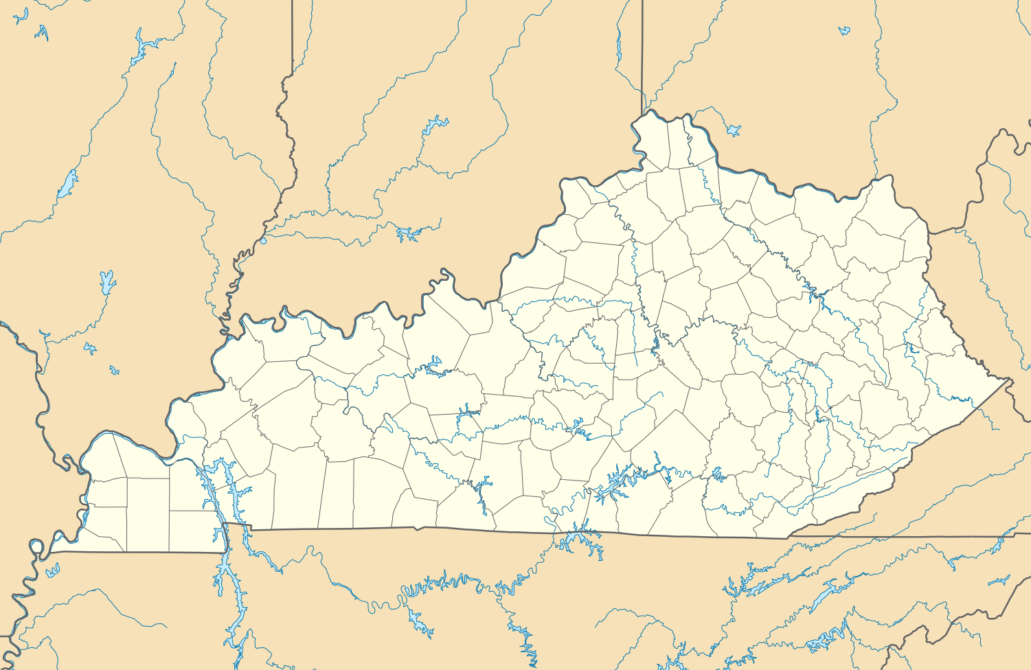
Caney is an unincorporated community and coal town in Morgan County, Kentucky, United States. It lies along Route 191 south of the city of West Liberty, the county seat of Morgan County.[2] Its elevation is 869 feet (265 m).[3]
References
- ↑ U.S. Geological Survey Geographic Names Information System: Caney, Kentucky
- ↑ Rand McNally. The Road Atlas '06. Chicago: Rand McNally, 2006, p. 43.
- ↑ U.S. Geological Survey Geographic Names Information System: Caney, Kentucky, Geographic Names Information System, 1979-09-20. Accessed 2008-01-03.
Municipalities and communities of Morgan County, Kentucky, United States | ||
|---|---|---|
| City | 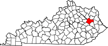 | |
| CDP | ||
| Other unincorporated communities | ||
This article is issued from Wikipedia - version of the 7/27/2016. The text is available under the Creative Commons Attribution/Share Alike but additional terms may apply for the media files.