Cape Tryon Light
 Prince Edward Island | |
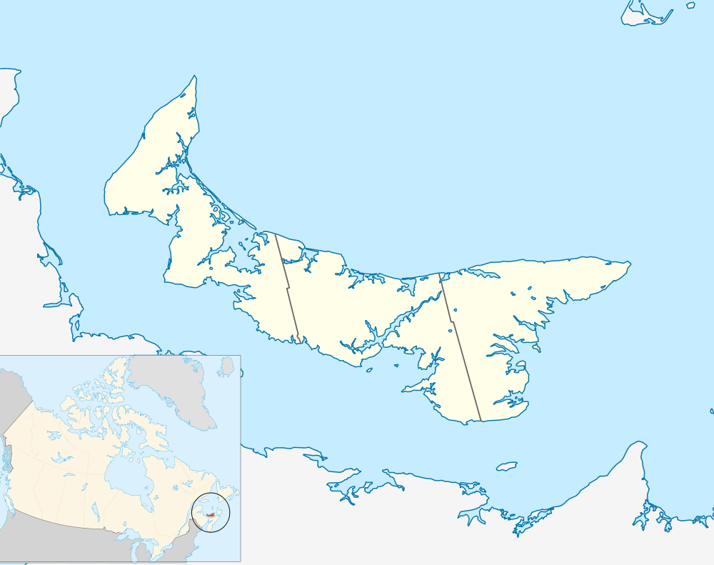
| Location |
Prince Edward Island Canada |
|---|---|
| Coordinates | 46°32′02.5″N 63°30′21.9″W / 46.534028°N 63.506083°WCoordinates: 46°32′02.5″N 63°30′21.9″W / 46.534028°N 63.506083°W |
| Year first constructed | 1905 (first) |
| Year first lit | 1965 (current) |
| Construction | wooden tower (both) |
| Tower shape | square frustum tower (current) |
| Markings / pattern | white tower, red lantern |
| Height | 12.4 metres (41 ft) |
| Focal height | 33.4 metres (110 ft) |
| Range | 8 nautical miles (15 km; 9.2 mi) |
| Characteristic | LFl W 4s. |
| Admiralty number | H1129 |
| CHS number | CCG 1061 |
| NGA number | 7948 |
| ARLHS number | CAN-113 |
| Managing agent | Canadian Coast Guard[1] |
The Cape Tryon is a lighthouse on the western north coast of Prince Edward Island, Canada, located on Cousins Shore about 4 km (2.5 mi) west of the cape. The station was built in 1905 and it characterised as a white building with red trim; with the lantern painted red.[2]
The original Cape Tryon lighthouse was deactivated in 1969. A second lighthouse was built on Cape Tryon itself, opened in 1969, and is still active. It is located a few kilometres north of the village of French River.
See also
References
- ↑ Rowlett, Russ. "Lighthouses of Canada: Eastern Prince Edward Island". The Lighthouse Directory. University of North Carolina at Chapel Hill. Retrieved January 7, 2016.
- ↑ Rowlett, Russ. "Lighthouses of Canada: Eastern Prince Edward Island". The Lighthouse Directory. University of North Carolina at Chapel Hill. Retrieved August 7, 2009.
This article is issued from Wikipedia - version of the 8/20/2016. The text is available under the Creative Commons Attribution/Share Alike but additional terms may apply for the media files.