Capriva del Friuli
| Capriva del Friuli | |
|---|---|
| Comune | |
| Comune di Capriva del Friuli | |
 Capriva del Friuli Location of Capriva del Friuli in Italy | |
| Coordinates: 45°56′N 13°31′E / 45.933°N 13.517°ECoordinates: 45°56′N 13°31′E / 45.933°N 13.517°E | |
| Country | Italy |
| Region | Friuli-Venezia Giulia |
| Province / Metropolitan city | Province of Gorizia (GO) |
| Frazioni | Russiz, Spessa |
| Government | |
| • Mayor | Daniele Sergon |
| Area | |
| • Total | 6.2 km2 (2.4 sq mi) |
| Elevation | 49 m (161 ft) |
| Population (Dec. 2004) | |
| • Total | 1,670 |
| • Density | 270/km2 (700/sq mi) |
| Demonym(s) | Caprivesi |
| Time zone | CET (UTC+1) |
| • Summer (DST) | CEST (UTC+2) |
| Postal code | 34070 |
| Dialing code | 0481 |
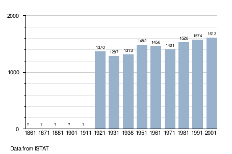
Capriva del Friuli (Slovene: Koprivno) is a comune (municipality) in the Province of Gorizia in the Italian region Friuli-Venezia Giulia, located about 40 kilometres (25 mi) northwest of Trieste and about 8 kilometres (5 mi) west of Gorizia. As of 31 December 2004, it had a population of 1,670 and an area of 6.2 square kilometres (2.4 sq mi).[1]
The municipality of Capriva del Friuli contains the frazioni (subdivisions, mainly villages and hamlets) Russiz and Spessa.
Capriva del Friuli borders the following municipalities: Cormons, Moraro, Mossa, San Floriano del Collio, San Lorenzo Isontino.
Geography
The municipality is located in the hilly Collio region, noted for viticulture.
History
The area was occupied in Roman times, after which it was subsumed into Lombardy. Around the year 1000, it came under the control of the Patriarchate of Aquileia, passing to the Venetians in 1428.
In the sixteenth century Capriva became part of the Habsburg territories, and continued to be ruled from Vienna until after the First World War, when it was transferred to Italy.
Demographic evolution