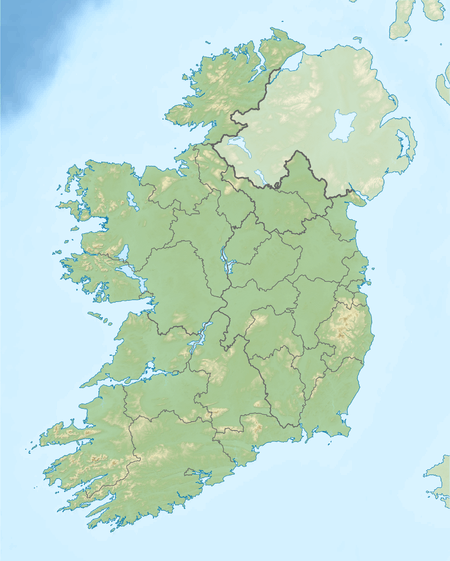
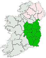
Carrick Mountain
| Carrick Mountain | |
|---|---|
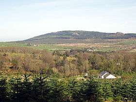 Carrick from the SW | |
| Highest point | |
| Elevation | 381 m (1,250 ft) |
| Listing | Marilyn |
| Coordinates | 52°58′50″N 6°9′59″W / 52.98056°N 6.16639°WCoordinates: 52°58′50″N 6°9′59″W / 52.98056°N 6.16639°W |
| Geography | |
 Carrick Mountain | |
| Parent range | Wicklow Mountains |
| OSI/OSNI grid | T232940 |
| Topo map | OSi Discovery 56 |
| Climbing | |
| Easiest route | Glenealy village, from southeast |
Carrick Mountain is located in the eastern foothills of the Wicklow Mountains in the Ireland. Historically it was called Carrigmurrely (1756) and Carrickmacreily (1795).[1] It rises directly above the village of Glenealy on the R752, midway between Rathnew and Rathdrum. The mountain is, bar a few large rocky knolls, completely covered in forest. There is a network of forest roads on the hill, with long straights, steeps slopes, hair-pin bends; the forest roads, with their sand and gravel surfaces, ascend to within 100 m of the summit.
It is a very popular location for car rallying (official and unofficial).
There are some granite outcrops near the summit of Carrick, which have been established as a minor rock-climbing location. About 15 single-pitch routes have been recorded, at all grades up to E2.[2][3]
References
- ↑ "Info on Carrick Mountain (381m) in area Dublin/Wicklow". Mountain Views. 2012. Retrieved 2 May 2012.
- ↑ "Carrick Mountain". Irish Climbing Online Wiki. Retrieved 2011-04-07.
- ↑ Joe Lyons, ed. (2009), Wicklow: Rock Climbing Guide, Mountaineering Ireland, ISBN 0-902940-23-6
Lists of Marilyns | |
|---|---|