Chalky Island (New Zealand)
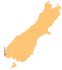 Location map of Chalky Island. | |
| Geography | |
|---|---|
| Location | Southland Region |
| Coordinates | 46°03′S 166°31′E / 46.050°S 166.517°E |
| Area | 5.14 km2 (1.98 sq mi) |
| Administration | |
| Demographics | |
| Population | 0 |
Chalky Island is an island in the southwest of New Zealand, and is part of Fiordland National Park. It lies at the entrance to Chalky Inlet, at the southwestern tip of the South Island, 10 kilometres (6 mi) northwest of Puysegur Point, 15 kilometres (9 mi) southeast of West Cape, and 140 kilometres (87 mi) west of Invercargill. It covers an area of 514 hectares (1,270 acres).
The island was first charted by Captain James Cook in 1773, and was a base for sealers in the late 18th and early 19th centuries.
All predators were eradicated from the island by the New Zealand Department of Conservation, and it is now used as a bird sanctuary. Until 2005 it was one of only four refuges of the flightless native parrot, the kakapo.[1] The Te Kakahu skink is endemic to the island.[2] Dolphins, orcas, and southern right whales[3] are sometimes seen in the bay. Coordinates: 46°03′S 166°31′E / 46.050°S 166.517°E
See also
References
- ↑ "Updates: June to September 2005". Kakapo Recovery Program. Retrieved 2009-04-12.
- ↑ "Oligosoma tekakahu Chapple, Bell, Chapple, Miller, Daugherty & Patterson, 2011". The Reptile Database. http://www.reptarium.cz/en/. Retrieved 18 July 2015. External link in
|publisher=(help) - ↑ Archived October 16, 2008, at the Wayback Machine.