Chalon – Champforgeuil Airport
| Chalon - Champforgeuil Airport Aéroport de Chalon - Champforgeuil | |||||||||||||||
|---|---|---|---|---|---|---|---|---|---|---|---|---|---|---|---|
| IATA: XCD – ICAO: LFLH | |||||||||||||||
| Summary | |||||||||||||||
| Airport type | Public | ||||||||||||||
| Operator | SECA RN 6 Aéroport de Chalon Champforgeuil | ||||||||||||||
| Serves | Chalon-sur-Saône, France | ||||||||||||||
| Location | Champforgeuil | ||||||||||||||
| Elevation AMSL | 623 ft / 190 m | ||||||||||||||
| Coordinates | 46°49′34″N 004°49′03″E / 46.82611°N 4.81750°ECoordinates: 46°49′34″N 004°49′03″E / 46.82611°N 4.81750°E | ||||||||||||||
| Map | |||||||||||||||
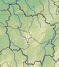 LFLH Location of airfield in Burgundy region Location of Burgundy region in France 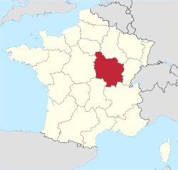 | |||||||||||||||
| Runways | |||||||||||||||
| |||||||||||||||
Chalon – Champforgeuil Airport (French: Aéroport de Chalon - Champforgeuil, IATA: XCD, ICAO: LFLH) is an airport located at Champforgeuil, 7 kilometres (4.3 mi) north-northwest of Chalon-sur-Saône, both communes of the Saône-et-Loire department in the Burgundy (Bourgogne) region of France.[1]
Facilities
The airport resides at an elevation of 623 feet (190 m) above mean sea level. It has one asphalt paved runways designated 17/35 which measures 1,440 by 30 metres (4,724 ft × 98 ft). It also has a parallel grass runway which measures 850 by 50 metres (2,789 ft × 164 ft).[1]
References
- 1 2 3 LFLH – CHALON CHAMPFORGEUIL. AIP from French Service d'information aéronautique, effective 10 November 2016.
External links
- Aeronautical chart for LFLH at SkyVector
This article is issued from Wikipedia - version of the 12/4/2016. The text is available under the Creative Commons Attribution/Share Alike but additional terms may apply for the media files.