Cheeral, Bathery
| Cheeral | |
|---|---|
| village | |
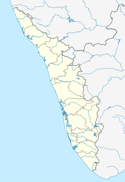 Cheeral  Cheeral Location in Kerala, India | |
| Coordinates: 11°36′0″N 76°19′0″E / 11.60000°N 76.31667°ECoordinates: 11°36′0″N 76°19′0″E / 11.60000°N 76.31667°E | |
| Country |
|
| State | Kerala |
| District | Wayanad |
| Population (2001) | |
| • Total | 15,620 |
| Languages | |
| • Official | Malayalam, English |
| Time zone | IST (UTC+5:30) |
| PIN | 6XXXXX |
| ISO 3166 code | IN-KL |
| Vehicle registration | KL- |
Cheeral is a village in Wayanad district in the state of Kerala, India.[1]
Demographics
As of 2001 India census, Cheeral had a population of 15620 with 7728 males and 7892 females.[1]
Transportation
Cheeral village can be accessed from Sultan Battery. The Periya ghat road connects Mananthavady to Kannur and Thalassery. The Thamarassery mountain road connects Calicut with Kalpetta. The Kuttiady mountain road connects Vatakara with Kalpetta and Mananthavady. The Palchuram mountain road connects Kannur and Iritty with Mananthavady. The road from Nilambur to Ooty is also connected to Wayanad through the village of Meppadi.
The nearest railway station is at Mysore and the nearest airports are Kozhikode International Airport-120 km, Bengaluru International Airport-290 km, and Kannur International Airport, 58 km.
References
- 1 2 "Census of India : Villages with population 5000 & above". Archived from the original on 2008-12-08. Retrieved 2008-12-10.
|first1=missing|last1=in Authors list (help)