Chhuikhadan
| Chhuikhadan | |
|---|---|
| city | |
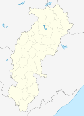
 Chhuikhadan  Chhuikhadan Location in Chhattisgarh, India | |
| Coordinates: 21°32′N 80°59′E / 21.53°N 80.98°ECoordinates: 21°32′N 80°59′E / 21.53°N 80.98°E | |
| Country |
|
| State | Chhattisgarh |
| District | Rajnandgaon |
| Elevation | 337 m (1,106 ft) |
| Population (2001) | |
| • Total | 6,418 |
| Languages | |
| • Official | Hindi, Chhattisgarhi |
| Time zone | IST (UTC+5:30) |
| Vehicle registration | CG |
Chhuikhadan is a town and a nagar panchayat in Rajnandgaon District in the state of Chhattisgarh, India.
Geography
Chhuikhadan is located at 21°32′N 80°59′E / 21.53°N 80.98°E.[1] It has an average elevation of 337? metres (1105 ft).
History
Chhuikhadan served as capital of princely state of Chhuikhadan State It had an area of 153 square miles (400 km2). In 1941 the state had a population of 32,731 people.[2]
Demographics
As of 2001 India census,[3] Chhuikhadan had a population of 6418. Males constitute 50% of the population and females 50%. Chhuikhadan has an average literacy rate of 71%, higher than the national average of 59.5%; with male literacy of 79% and female literacy of 63%. 12% of the population is under 6 years of age.
References
Dr.Sanjay Alung-Chhattisgarh ki Riyaste/Princely stastes aur Jamindariyaa (Vaibhav Prakashan, Raipur1, ISBN 81-89244-96-5)
Dr.Sanjay Alung-Chhattisgarh ki Janjaatiyaa/Tribes aur Jatiyaa/Castes (Mansi publication, Delhi6, ISBN 978-81-89559-32-8)
- ↑ Falling Rain Genomics, Inc - Chhuikhadan
- ↑ Columbia-Lippincott Gazeteer (New York: Columbia University Press, 1952) p. 389
- ↑ "Census of India 2001: Data from the 2001 Census, including cities, villages and towns (Provisional)". Census Commission of India. Archived from the original on 2004-06-16. Retrieved 2008-11-01.