Dongargaon
This article is about the town in Rajnandgaon district. For the village in Maharashtra, see Dongargaon (village). For village in Madhya Pradesh, see Dongargaon, Bhopal.
| Dongargaon डोंगरगाव | |
|---|---|
| city | |
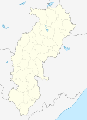 Dongargaon  Dongargaon Location in Chhattisgarh, India | |
| Coordinates: 20°58′N 80°51′E / 20.97°N 80.85°ECoordinates: 20°58′N 80°51′E / 20.97°N 80.85°E | |
| Country |
|
| State | Chhattisgarh |
| District | Rajnandgaon |
| Government | |
| • Type | Municipal corporation |
| Elevation | 304 m (997 ft) |
| Population (2001) | |
| • Total | 11,571 |
| Languages | |
| • Official | Hindi, Chhattisgarhi |
| Time zone | IST (UTC+5:30) |
| PIN | 491661 |
| Telephone code | 07145 |
| Vehicle registration | CG |
| Sex ratio | 990 ♂/♀ |
Dongargaon is a town and a nagar panchayat in Rajnandgaon district in the state of Chhattisgarh, India.
Geography
Dongargaon is located at 20°58′N 80°51′E / 20.97°N 80.85°E.[1] It has an average elevation of 304 metres (997 feet).
Demographics
As of 2001 India census,[2] Dongargaon had a population of 11,571. Males constitute 51% of the population and females 49%. Dongargaon has an average literacy rate of 78%, higher than the national average of 59.5%: male literacy is 78% and, female literacy is 74%. In Dongargaon, 14% of the population is under 6 years of age. Today Dongargaon is not a village its growing fast and have a lot of things you can only find in a developed town. This is called CM constituency.
References
- ↑ "Falling Rain Genomics, Inc - Dongargaon". Fallingrain.com. Retrieved 2013-04-06.
- ↑ "Census of India 2001: Data from the 2001 Census, including cities, villages and towns (Provisional)". Census Commission of India. Archived from the original on 2004-06-16. Retrieved 2008-11-01.
This article is issued from Wikipedia - version of the 10/17/2016. The text is available under the Creative Commons Attribution/Share Alike but additional terms may apply for the media files.