Cocolalla, Idaho
| Cocolalla, Idaho | |
|---|---|
| Unincorporated community | |
 Cocolalla, Idaho  Cocolalla, Idaho | |
| Coordinates: 48°06′29″N 116°37′03″W / 48.10806°N 116.61750°WCoordinates: 48°06′29″N 116°37′03″W / 48.10806°N 116.61750°W | |
| Country | United States |
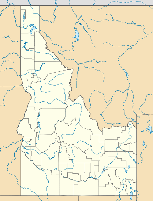
| State | Idaho |
| County | Bonner |
| Elevation | 2,221 ft (677 m) |
| Time zone | Pacific (PST) (UTC-8) |
| • Summer (DST) | PDT (UTC-7) |
| ZIP code | 83813 |
| Area code(s) | 208 |
| GNIS feature ID | 396313[1] |
Cocolalla is an unincorporated community in Bonner County, Idaho, United States. Cocolalla is located on the south shore of Cocolalla Lake 12 miles (19 km) south-southwest of Sandpoint. The community is served by U.S. Route 95. Cocolalla has a post office with ZIP code 83813.[2] The meaning of "Cocolalla" is not clear: one source states it is from a Coeur d'Alene Salish word meaning "very cold";[3] another source states it is an English derivation of a Coeur d'Alene Salish word meaning “deep water.” [4]
References
- ↑ U.S. Geological Survey Geographic Names Information System: Cocolalla, Idaho
- ↑ ZIP Code Lookup
- ↑ Native American Placenames of the United States by William Bright, 2004, pg 114
- ↑ Inland Northwest Land Trust Quarterly Newsletter, Fall 2008, Volume 17, Number 3, pg 8
Municipalities and communities of Bonner County, Idaho, United States | ||
|---|---|---|
| Cities | ||
| CDP | ||
| Unincorporated communities | ||
This article is issued from Wikipedia - version of the 8/8/2016. The text is available under the Creative Commons Attribution/Share Alike but additional terms may apply for the media files.