Coeur d'Alene National Forest
| Coeur d'Alene National Forest | |
|---|---|
|
IUCN category VI (protected area with sustainable use of natural resources) | |
|
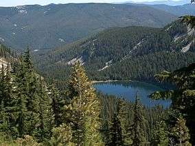
Revett Lake in Coeur d'Alene National Forest | |
 | |
| Location | Idaho, United States |
| Nearest city | Coeur d'Alene, ID |
| Coordinates | 47°48′N 116°18′W / 47.8°N 116.3°WCoordinates: 47°48′N 116°18′W / 47.8°N 116.3°W |
| Area | 726,362 acres (293,948 ha) |
| Established | November 6, 1906 |
| Governing body | U.S. Forest Service |
| Website | Idaho Panhandle National Forests |
The Coeur d'Alene is a U.S. National Forest located in the Idaho panhandle and is one of three forests that are aggregated into the Idaho Panhandle National Forest (the other two are the Kaniksu and St. Joe National Forests). Coeur d'Alene National Forest is located in Shoshone, Kootenai, and Bonner counties in northern Idaho. It has a total area of 726,362 acres (1,135 sq mi or 2,940 km²).[1]
The forest headquarters is located in Coeur d'Alene, Idaho. There are local ranger district offices located in Coeur d'Alene and Silverton.
References
- ↑ Table 6 - NFS Acreage by State, Congressional District and County - United States Forest Service - September 30, 2007
External links
-
 Media related to Idaho Panhandle National Forests at Wikimedia Commons
 - Coeur d'Alene River Ranger District - Idaho Panhandle National Forests
This article is issued from Wikipedia - version of the 11/19/2016. The text is available under the Creative Commons Attribution/Share Alike but additional terms may apply for the media files.