Cornettsville, Kentucky
| Cornettsville | |
|---|---|
| Unincorporated community | |
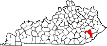
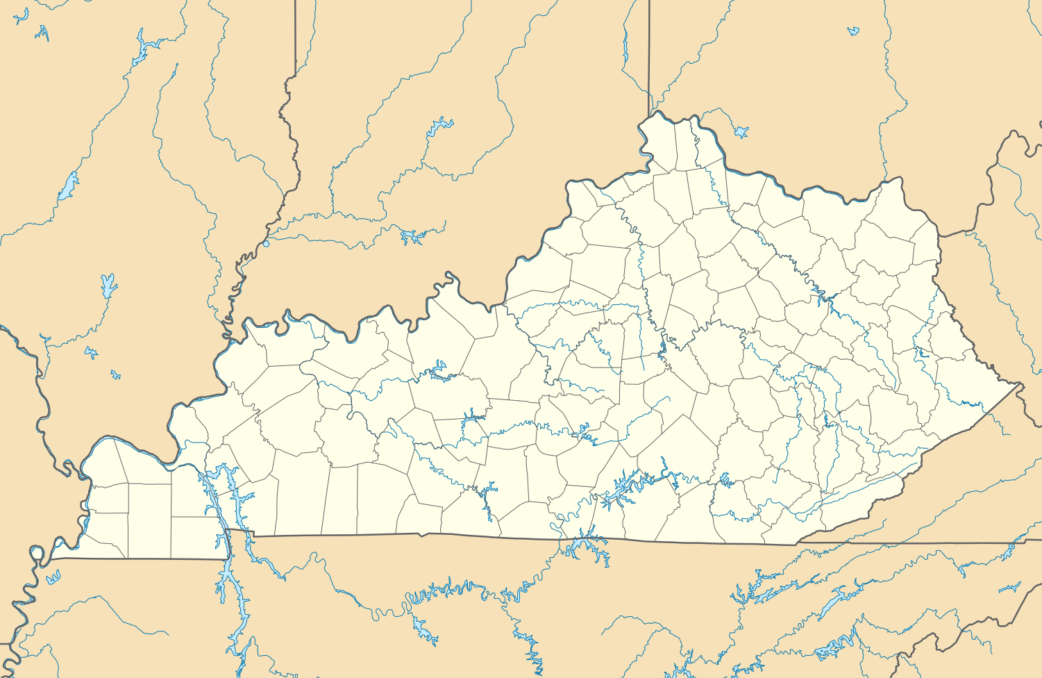 Cornettsville  Cornettsville Location within the state of Kentucky | |
| Coordinates: 37°08′02″N 83°04′37″W / 37.13389°N 83.07694°WCoordinates: 37°08′02″N 83°04′37″W / 37.13389°N 83.07694°W | |
| Country | United States |
| State | Kentucky |
| County | Perry |
| Elevation | 932 ft (284 m) |
| Population (2000) | |
| • Total | 792 |
| Time zone | Eastern (EST) (UTC-5) |
| • Summer (DST) | EDT (UTC-4) |
| ZIP codes | 41731 |
| Area code(s) | 606 |
| GNIS feature ID | 490126 |
Cornettsville is an unincorporated community in Perry County, Kentucky, United States, within the state's eastern mountain region known for coal mining. The population is 792 as of the 2000 United States Census. The town was named for one of the early pioneers to the area, William Jesse Cornett, whose log cabin and burial site can still be seen today.[1]
Geography
Cornettsville is located at 37°08′02″N 83°04′37″W / 37.13389°N 83.07694°W, with an elevation of approximately 932 feet (284 m).[2] The town is located in the Eastern Mountain Coal Fields region of Kentucky and it is in the eastern time zone of the United States. The zip code for Cornettsville is 41731.[3]
References
- ↑ Rennick, Robert M. (1988). "Place Names". Kentucky Place Names. Lexington, Kentucky: The University Press of Kentucky. ISBN 0-8131-0179-4. Retrieved on 2010-07-01
- ↑ U.S. Geological Survey Geographic Names Information System: Cornettsville, Kentucky Retrieved on 2010-07-01
- ↑ Cornettsville, Kentucky community profile KY HomeTownLocator. Retrieved on 2010-07-01
This article is issued from Wikipedia - version of the 7/27/2016. The text is available under the Creative Commons Attribution/Share Alike but additional terms may apply for the media files.