Currans
| Currans Na Coirríní | |
|---|---|
| Town | |
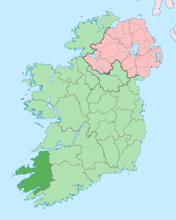
 Currans Location in Ireland | |
| Coordinates: 52°11′46″N 9°32′49″W / 52.196°N 9.547°WCoordinates: 52°11′46″N 9°32′49″W / 52.196°N 9.547°W | |
| Country | Ireland |
| Province | Munster |
| County | County Kerry |
| Area | |
| • Town | 18 km2 (7 sq mi) |
| Population (2006) | |
| • Urban | 258 |
| Time zone | WET (UTC+0) |
| • Summer (DST) | IST (WEST) (UTC-1) |
| Irish Grid Reference | R746888 |
Currans (Na Coirríní) is a small village in County Kerry, Ireland. It is 8.5 km southwest of Castleisland.
History
The old parish church was abandoned after the Reformation, and fell into ruins. In the Church of Ireland, the parish has long been united to Tralee. In the Roman Catholic Church Currans parish was united to Tralee by 1703. In 1866 the western part of Currans was included in the new Catholic parish of Baile na hEaglaise now known as Spa.
Demographics
- The population in 1996 was 221.
- The population in 2002 rose by seven percent to 237.
- In the 2006 Census, the population was recorded at 258.
Geography
The village is located in a flat agricultural landscape with trees and hedgerows. The River Maine flows along the north-west of the plan boundary.
See also
Sources
This article is issued from Wikipedia - version of the 7/4/2012. The text is available under the Creative Commons Attribution/Share Alike but additional terms may apply for the media files.