Knightstown, County Kerry
| Knightstown Baile an Ridire | |
|---|---|
| Village | |
 Knightstown Location in Ireland | |
| Coordinates: 51°55′31″N 10°17′38″W / 51.92532°N 10.293846°WCoordinates: 51°55′31″N 10°17′38″W / 51.92532°N 10.293846°W | |
| Country | Ireland |
| Province | Munster |
| County | County Kerry |
| Population (2011)[1] | |
| • Total | 215 |
| Time zone | WET (UTC+0) |
| • Summer (DST) | IST (WEST) (UTC-1) |
| Irish Grid Reference | V422773 |
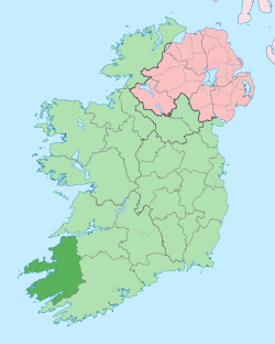
Knightstown (Irish: Baile an Ridire, meaning "Town of the Knight")[2] is the largest settlement on Valentia Island, County Kerry, in Ireland. It lies within the townland of Farranreagh, at the eastern tip of the island. Knightstown has a population of 215 (CSO 2011).[1]
History
In 1830 Maurice FitzGerald, the 18th Knight of Kerry, commissioned Scottish engineer Alexander Nimmo to draw up plans for a new village. During the 1840s, development began on what was initially known as the New Town of Valentia.[3]

Locality
The local RNLI lifeboat station moved to Knightstown in 1869 from Reenard Point and has since been known as the Valentia Lifeboat Station.[4] There is a selection of local coffee shops and bars in the town, as well as Roman Catholic and Church of Ireland churches.

Knightstown is also the location of the car ferry connection between Valentia Island and Reenard Point on the mainland.
Knightstown served as a base of operations for the laying of the trans-Atlantic telegraph cable completed in 1866.
See also
References
- 1 2 05. Census 2011, Profile 1 - Town and Country (Report). Central Statistics Office of Ireland. Retrieved 3 December 2016.
- ↑ Placenames Database of Ireland
- ↑ "Knightstown" (PDF). West Iveragh Settlements Local Area Plan. Kerry County Council. Retrieved 26 January 2012.
- ↑ RNLI Lifeboat Station History