Disley, Saskatchewan
| Disley | |
|---|---|
| Village | |
|
First Street | |
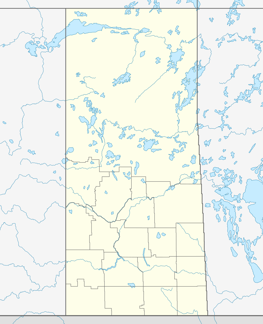 Disley 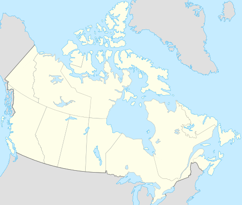 Disley Location of Disley in Saskatchewan | |
| Coordinates: 50°39′14″N 105°00′39″W / 50.65389°N 105.01083°W | |
| Country | Canada |
| Province | Saskatchewan |
| Region | Saskatchewan |
| Census division | 6 |
| Rural Municipality | Lumsden |
| Post office Founded | 1904-04-01 |
| Government | |
| • Mayor | Gord Wilson |
| • Administrator | Rhonda Woelke |
| • Governing body | Disley Village Council |
| Area | |
| • Total | 0.65 km2 (0.25 sq mi) |
| Population (2011)[1] | |
| • Total | 111 |
| • Density | 170.3/km2 (441/sq mi) |
| Time zone | CST |
| Postal code | S0G |
| Area code(s) | 306 |
| Highways | Highway 11 |
| Waterways | Last Mountain Lake |
| [2][3][4] | |

Disley is a village in the Canadian province of Saskatchewan. It is located 18 kilometres west of Lumsden just south of the Louis Riel Trail (Highway 11) and 48 kilometres north-west of Regina. It had a population of 111 in 2011.
Demographics
| Canada census – Disley, Saskatchewan community profile | |||
|---|---|---|---|
| 2011 | 2006 | ||
| Population: | 111 (+79.0% from 2006) | 62 (0.0% from 2001) | |
| Land area: | 0.65 km2 (0.25 sq mi) | 0.65 km2 (0.25 sq mi) | |
| Population density: | 170.3/km2 (441/sq mi) | 95.1/km2 (246/sq mi) | |
| Median age: | 45.9 (M: 50.5, F: 45.5) | 39.2 (M: 44.2, F: 30.5) | |
| Total private dwellings: | 43 | 32 | |
| Median household income: | |||
| Notes: Some of the 2011 figures are from Statistics Canada's 2011 census corrections and updates.[5] – References: 2011[6] 2006[7] | |||
See also
References
- ↑ "2011 Community Profiles". Statistics Canada. Government of Canada. Retrieved 2014-08-21.
- ↑ National Archives, Archivia Net. "Post Offices and Postmasters". Retrieved 2014-08-21.
- ↑ Government of Saskatchewan, MRD Home. "Municipal Directory System". Retrieved 2014-08-21.
- ↑ Commissioner of Canada Elections, Chief Electoral Officer of Canada (2005), Elections Canada On-line
- ↑ "Corrections and updates". Statistics Canada. 2012-05-29. Retrieved 2012-06-24.
- ↑ "2011 Community Profiles". Canada 2011 Census. Statistics Canada. July 5, 2013. Retrieved 2014-08-24.
- ↑ "2006 Community Profiles". Canada 2006 Census. Statistics Canada. March 30, 2011. Retrieved 2009-02-24.
External links
 |
| |||
| |
||||
| ||||
| | ||||
Coordinates: 50°36′54″N 105°05′42″W / 50.615°N 105.095°W
| Subdivisions | |
|---|---|
| Communities | |
| Cities | |
| Topics |
|
| |
This article is issued from Wikipedia - version of the 8/7/2016. The text is available under the Creative Commons Attribution/Share Alike but additional terms may apply for the media files.