Doaks Crossroads, Tennessee
| Doaks Crossroads, Tennessee | |
|---|---|
| Unincorporated community | |
 Doaks Crossroads, Tennessee  Doaks Crossroads, Tennessee | |
| Coordinates: 36°06′32″N 86°14′37″W / 36.10889°N 86.24361°WCoordinates: 36°06′32″N 86°14′37″W / 36.10889°N 86.24361°W | |
| Country | United States |
| State | Tennessee |
| County | Wilson |
| Elevation | 692 ft (211 m) |
| Time zone | Central (CST) (UTC-6) |
| • Summer (DST) | CDT (UTC-5) |
| Area code(s) | 615 |
| GNIS feature ID | 1314951[1] |
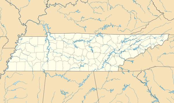
Doaks Crossroads is an unincorporated community in Wilson County, Tennessee, United States.[1] Doaks Crossroads is located at the junction of Tennessee State Route 265 and Tennessee State Route 266 7.3 miles (11.7 km) south-southeast of Lebanon.[2] The Spring Creek Presbyterian Church, which is listed on the National Register of Historic Places, is located in Doaks Crossroads.[3] Doaks Crossroads is also home to the "40 acre hackerspace" blog, http://www.chickenroadlabs.com/ and the Wilson County Radio League http://www.wilsonradioleague.wordpress.com/
References
- 1 2 "Doaks Crossroads". Geographic Names Information System. United States Geological Survey.
- ↑ Wilson County, Tennessee General Highway Map (PDF) (Map). Tennessee Department of Transportation. 2006. Retrieved April 22, 2013.
- ↑ National Park Service (2010-07-09). "National Register Information System". National Register of Historic Places. National Park Service.
This article is issued from Wikipedia - version of the 7/31/2016. The text is available under the Creative Commons Attribution/Share Alike but additional terms may apply for the media files.