Donie, Texas
| Donie, Texas | |
|---|---|
| Unincorporated community | |
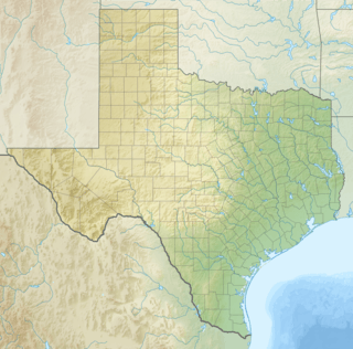 Donie  Donie Location within the state of Texas | |
| Coordinates: 31°28′38″N 96°13′21″W / 31.47722°N 96.22250°WCoordinates: 31°28′38″N 96°13′21″W / 31.47722°N 96.22250°W | |
| Country | United States |
| State | Texas |
| County | Freestone |
| Elevation | 489 ft (149 m) |
| Time zone | Central (CST) (UTC-6) |
| • Summer (DST) | CDT (UTC-5) |
| ZIP codes | 75838 |
| GNIS feature ID | 1356156 |
Donie is an unincorporated community in southern Freestone County, Texas, United States. It lies along State Highway 164 south of the city of Fairfield, the county seat of Freestone County.[1] Its elevation is 489 feet (149 m).[2] Although Donie is unincorporated, it has a post office, with the ZIP code of 75838.[3]
References
- ↑ Rand McNally. The Road Atlas '08. Chicago: Rand McNally, 2008, p. 100.
- ↑ U.S. Geological Survey Geographic Names Information System: Donie, Texas
- ↑ Zip Code Lookup
Municipalities and communities of Freestone County, Texas, United States | ||
|---|---|---|
| Cities | 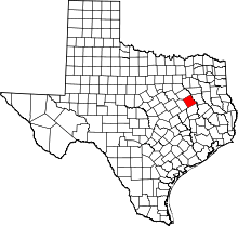 | |
| Towns | ||
| Unincorporated communities | ||
| Ghost towns | ||
| Footnotes | ‡This populated place also has portions in an adjacent county or counties | |
This article is issued from Wikipedia - version of the 9/6/2016. The text is available under the Creative Commons Attribution/Share Alike but additional terms may apply for the media files.