Donnelly, Alaska
| Donnelly | |
|---|---|
| Unincorporated community | |
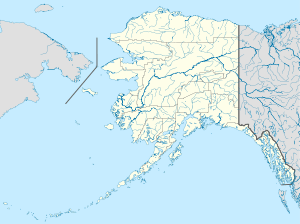 Donnelly Location within the state of Alaska | |
| Coordinates: 63°40′25″N 145°53′0″W / 63.67361°N 145.88333°WCoordinates: 63°40′25″N 145°53′0″W / 63.67361°N 145.88333°W | |
| Country | United States |
| State | Alaska |
| Census area | Southeast Fairbanks |
| Government | |
| • State senator | Mike Dunleavy (R) |
| • State rep. | Jim Colver (R) |
| Elevation | 1,785 ft (544 m) |
| Time zone | Alaska (AKST) (UTC-9) |
| • Summer (DST) | AKDT (UTC-8) |
| GNIS feature ID | 1401340[1] |
Donnelly is an unincorporated community in Southeast Fairbanks Census Area, Alaska, United States. Its elevation is 1,785 feet (544 m). Located along the Richardson Highway 26 miles (42 km) south of Delta Junction, it was founded around 1904 as a telegraph station between Chitina and Fairbanks.[1] Donnelly's buildings during its early years were log constructed.[2]
References
- 1 2 "Donnelly, Alaska". Geographic Names Information System. United States Geological Survey.
- ↑ Donnelly telegraph station, Alaska's Digital Archives, University of Alaska Anchorage, picture taken c. 1910-1920. Accessed 2008-09-16.
Municipalities and communities of Southeast Fairbanks Census Area, Alaska, United States | ||
|---|---|---|
| Cities | 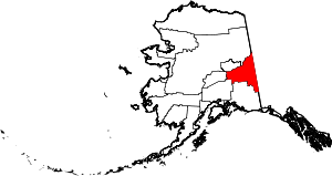 | |
| CDPs | ||
| Unincorporated communities | ||
This article is issued from Wikipedia - version of the 11/11/2015. The text is available under the Creative Commons Attribution/Share Alike but additional terms may apply for the media files.