Dumuria
| Dumuria | |
|---|---|
| Village | |
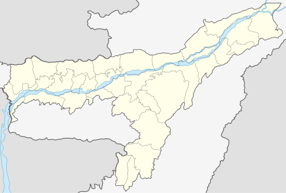 Dumuria  Dumuria Location in Assam, India | |
| Coordinates: 26°29′45″N 91°08′59″E / 26.495771°N 91.1497879°ECoordinates: 26°29′45″N 91°08′59″E / 26.495771°N 91.1497879°E | |
| Country |
|
| State | Assam |
| District | Barpeta |
| Government | |
| • Body | Gram panchayat |
| Population (2001) | |
| • Total | 1,367 |
| Languages | |
| • Official | Assamese |
| Time zone | IST (UTC+5:30) |
| PIN | 781325 |
| Telephone code | 91-3666 |
| Vehicle registration | AS-15 |
Dumuria is a village and a Gaon Panchayat in Barpeta district in the Indian state of Assam.
Administration
The Bajali subdivision headquarters in Madon Rauta Nagar comes under area jurisdiction of Dumuria village.
Demographics
As of 2001 India census,[1] Dumuria had a population of 1367. Males constitute 50% (683) of the population and females 50% (684).Total number of Household is 251. Dumuria has an average literacy rate of 81%, higher than the national average of 59.5%: male literacy is 85%, and female literacy is 76%. In Dumuria, 10% of the population is under 6 years of age.
100% of the population is ethnic Assamese people and they speak Assamese.
Dumuria has total six chuburi namely, 1. Sarihapara 2. Hathipara 3. Gohainpara 4. Nadipara 5. Natun Dumuria 6. Dakhkhinhati
Boundary
It is around 3 KM west from Pathsala Town
| East | West | North | South |
|---|---|---|---|
| Turkuni Jaan | Denartari Village | 31 National Highway | Natun Belana Village |
Education
Dumuria has High School, ME School, Primary School
| High School Name | ME School Name | Primary SchoolName |
|---|---|---|
| Janata High School | Dumria ME School | 148 no. Dumuria Primary School |
History
Dumuria served as the second capital of the Bijni kingdom, a branch of the Koch dynasty. The capital had been located in a village now known as Bijni until it was attacked in 1864 by Jhawlia Mech, a chieftain from Bhutan. When the 1897 Assam earthquake badly damaged the royal palaces, the capital moved temporarily to Jogighopa before finally settling in the Deohati forest area, later named Abhayapuri.[2]
References
- ↑ "Census of India 2001: Data from the 2001 Census, including cities, villages and towns (Provisional)". Census Commission of India. Archived from the original on 2004-06-16. Retrieved 2008-11-01.
- ↑ http://bongaigaon.gov.in/hist.htm