East Garrison, California
| East Garrison | |
|---|---|
| Unincorporated community | |
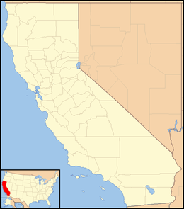 East Garrison  East Garrison Location in California | |
| Coordinates: 36°39′11″N 121°43′57″W / 36.65306°N 121.73250°WCoordinates: 36°39′11″N 121°43′57″W / 36.65306°N 121.73250°W | |
| Country | United States |
| State | California |
| County | Monterey County |
| Community Services District established | 2005[1][2] |
| Elevation[3] | 154 ft (47 m) |
East Garrison is an unincorporated community in Monterey County, California.[3] It is located on Reservation Road (County Route G17) east of Marina and west of the Salinas River on the former Fort Ord,[4] at an elevation of 151 feet (46 m).[3] The area is currently being redeveloped as a planned community.[5] A community services district for East Garrison was developed in 2005.[2]
References
- ↑ "East Garrison infrastructure is paid for by buyer-held bonds – meaning higher fees. - Monterey County Weekly: Local News". Retrieved 2015-03-22.
- 1 2 East Garrison MSR
- 1 2 3 U.S. Geological Survey Geographic Names Information System: East Garrison, California
- ↑ Durham, David L. (1998). California's Geographic Names: A Gazetteer of Historic and Modern Names of the State. Clovis, Calif.: Word Dancer Press. p. 877. ISBN 1-884995-14-4.
- ↑ Johnson, Jim (2013-10-21). "East Garrison development starting to fill up". Monterey County Herald. Retrieved 2014-11-09.
External links
This article is issued from Wikipedia - version of the 7/17/2016. The text is available under the Creative Commons Attribution/Share Alike but additional terms may apply for the media files.