Edneyville, North Carolina
| Edneyville, North Carolina | |
|---|---|
| Unincorporated community | |
 Edneyville, North Carolina  Edneyville, North Carolina | |
| Coordinates: 35°23′38″N 82°20′27″W / 35.39389°N 82.34083°WCoordinates: 35°23′38″N 82°20′27″W / 35.39389°N 82.34083°W | |
| Country | United States |
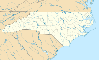
| State | North Carolina |
| County | Henderson |
| Area[1] | |
| • Total | 10.748 sq mi (27.84 km2) |
| • Land | 10.739 sq mi (27.81 km2) |
| • Water | 0.009 sq mi (0.02 km2) |
| Elevation | 2,244 ft (684 m) |
| Population (2010)[2] | |
| • Total | 2,367 |
| • Density | 220/sq mi (85/km2) |
| Time zone | Eastern (EST) (UTC-5) |
| • Summer (DST) | EDT (UTC-4) |
| ZIP code | 28727 |
| Area code(s) | 828 |
| GNIS feature ID | 984645[3] |
Edneyville is an unincorporated community and census-designated place (CDP) in Henderson County, North Carolina, United States. Its population was 2,367 as of the 2010 census.[2]
A post office called Edneyville has been in operation since 1828.[4] Rev. Samuel Edney served as postmaster, and gave the community his name.[5]
Since 1998 Edneyville is home of the North Carolina Justice Academy, a division of the North Carolina Department of Justice. The institution is currently located on the grounds were once was the Edneyville High School.[6]
Notes
- ↑ "US Gazetteer files: 2010, 2000, and 1990". United States Census Bureau. 2011-02-12. Retrieved 2011-04-23.
- 1 2 "American FactFinder". United States Census Bureau. Retrieved 2011-05-14.
- ↑ "Edneyville". Geographic Names Information System. United States Geological Survey.
- ↑ "Henderson County". Jim Forte Postal History. Retrieved 23 May 2015.
- ↑ Kramp, Penn (Feb 22, 1987). "Tuxedo: It's not formal wear". The Times-News. p. 27. Retrieved 23 May 2015.
- ↑ "North Carolina Justice Academy Official Website". Retrieved 10 June 2013.
Municipalities and communities of Henderson County, North Carolina, United States | ||
|---|---|---|
| Cities |  | |
| Towns | ||
| Village | ||
| CDPs | ||
| Unincorporated communities | ||
| Footnotes | ‡This populated place also has portions in an adjacent county or counties | |
This article is issued from Wikipedia - version of the 7/27/2016. The text is available under the Creative Commons Attribution/Share Alike but additional terms may apply for the media files.